Agriculture
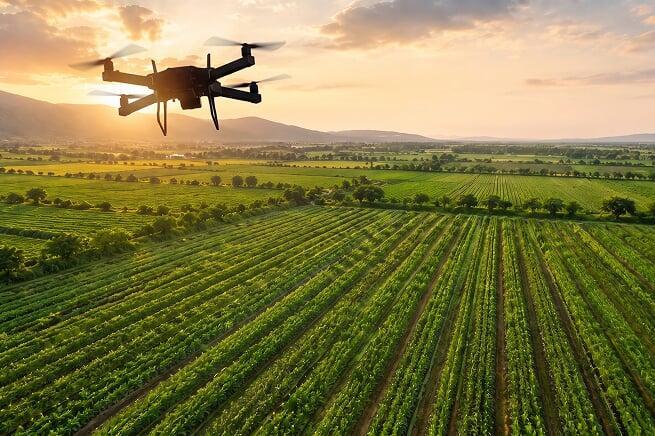
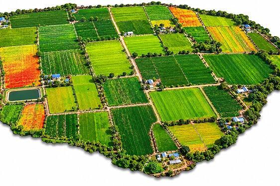
Surveyaan drones provide high-resolution aerial mapping of agricultural fields — delivering actionable crop health data, precise field maps, and terrain insights for smarter farming.
Use Cases
To feed the world, modern agriculture must be smarter, more efficient, and more sustainable than ever. Relying on intuition alone is no longer enough. Our cloud-based platform is your all-in-one command centre for precision agriculture — turning complex aerial data into simple, actionable decisions that increase your yield and profitability. Below are a few of the applications:
Mapping Every Acre for Smarter Farming Decisions.
Crop Health Monitoring
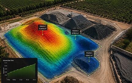
 Identify Crop Stress and Disease at Early Stage
- Advanced Vegetation Index Analysis
- Targeted Field Scouting with GPS Precision
Field Mapping & Land Records
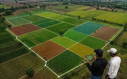
- High-Resolution Farm Boundary Mapping
- Accurate Land Record Generation
- Field Segmentation and Zone Planning
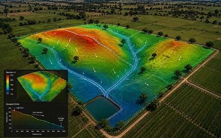
Irrigation & Drainage Planning
- Drainage Channel Route Planning
- Land Levelling and Slope Analysis
Get in Touch with India's
leading Commercial Drone/
UAV Manufacturers
Have Questions About Our Surveying Drones Or Photogrammetry Software?


Send us a message
TRUSTED BY 600+ GLOBAL CLIENTS