A Land Surveyor's Companion for Precision Mapping
Meet SURVEYAAN VI Pro
India's Most Affordable LiDAR Drone for Precision Mapping

Upto 16 returns
Laser Scanner

Built-in 26 MP
Calibrated Camera

360° Obstacle Avoidance
System
A Land Surveyor's Companion for Precision Surveys
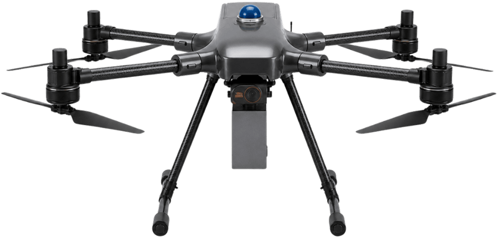
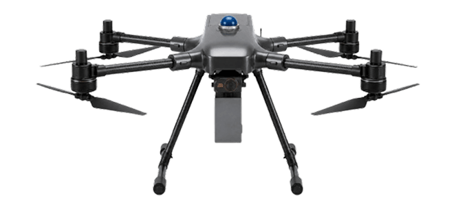
The Surveyaan V1 Pro is India's most affordable entry-level UAV LiDAR solution — purpose-built for professionals who demand centimetre-level precision, deep vegetation penetration, and reliable performance in the most challenging survey environments. Designed and developed in India by Nibrus Technologies, the V1 Pro integrates an industry-grade Livox Avia LiDAR scanner with a built-in 26 MP calibrated camera, 360° obstacle avoidance, and a hard joystick controller — making it the most capable and accessible LiDAR drone in India today.
Whether you're mapping dense forest canopy for forestry surveys, conducting utility corridor inspections, calculating mining volumes, or capturing precise civil engineering data, the V1 Pro delivers absolute accuracy of less than 10 cm horizontal and less than 5 cm vertical. With a 6 kg maximum payload capacity, 40–45 minutes of flight endurance, and a radial range of 2.5 km, this LiDAR UAV is built for professionals who cannot compromise on quality.

360° Obstacle Avoidance
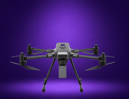
3 Payload support with 3 returns
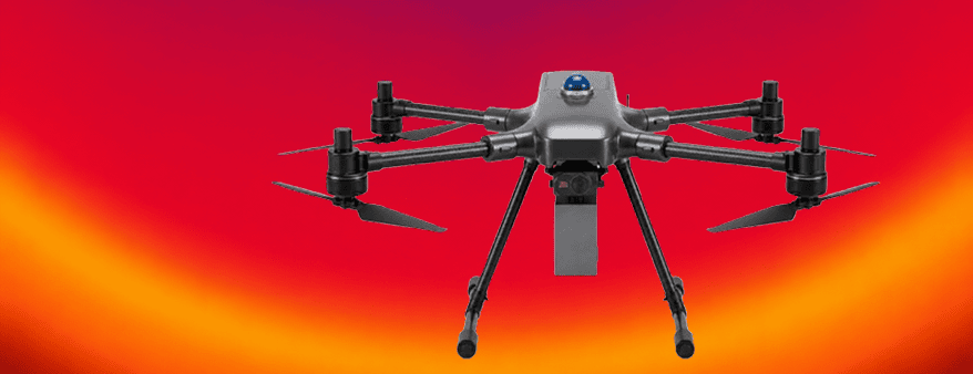
16 returns and dual Camera
A True Companion for Large and
Enterprise Scale Surveying
A Land Surveyor's Companion For Extended Surveys

Drone Type: Multi-Rotor

26 MP Calibrated Camera
Small Category – 6 Kg Max Payload

Absolute Accuracy: <10 cm Hz |<5 cm V
Surveyaan V1 Pro –
LiDAR Drone Has Never Been
So Accessible in India
A Land Surveyor's Companion for Precision Surveys

40–45 Mins
Flight Time

2.5 Km
Radial Range

120 m Max
Altitude

Up to 25 km/hr
Wind Resistance
We Have Taken Care About Your Transport Easiness Also!
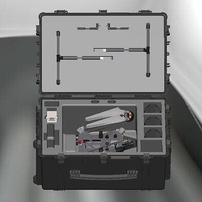
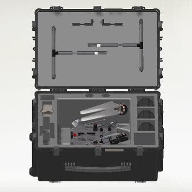
Compact Carry Case
The Surveyaan V1 Pro ships in a purpose-built, hard-shell carry case that protects the drone, LiDAR payload, and accessories during transit. Field-ready wherever your project takes you across India.
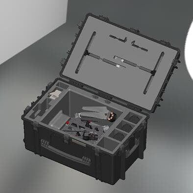
Easy to Transport
Despite carrying an industrial-grade LiDAR scanner and a 26 MP camera, the complete V1 Pro package is compact and easy to transport, allowing a single operator to quickly deploy it at any survey site.
Ready in 5 Minutes
From unboxing to airborne in under 5 minutes. The V1 Pro's intuitive setup process and pre-calibrated LiDAR payload mean less time preparing and more time collecting precision survey data on the field.
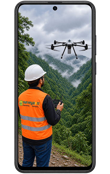
Take Full Control with Our Advanced Hard Joystick Controller and Live FPV System
A Land Surveyor's Companion for Precision Surveys





Frequent questions
Lightning-fast and full-featured — make every survey faster, more accurate, and more profitable by using Surveyaan V1 Pro.
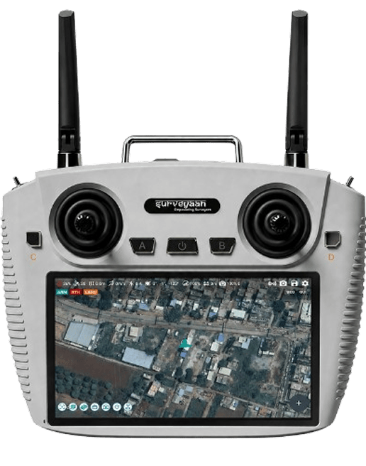
A Control App Which Is So
Intuitive That You Virtually
Need No Training!
REGISTER NOW Get in Touch with India's
leading Commercial Drone/
UAV Manufacturers
Have Questions About Our Surveying Drones Or Photogrammetry Software?


Send us a message