Construction
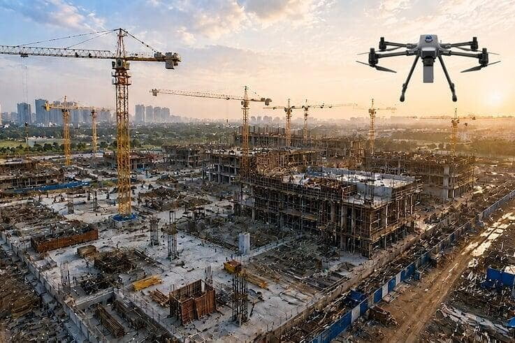
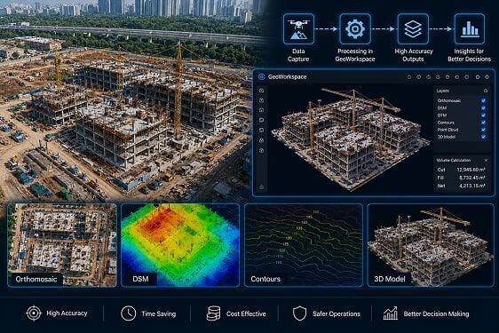
Surveyaan drones provide precise aerial surveys of construction sites — delivering accurate progress maps, earthwork volume calculations, and complete site documentation at every phase.
Use Cases
Drones have become an indispensable tool for construction project managers, site engineers, and survey consultants across India. They provide accurate, repeatable aerial data at every phase — improving safety, reducing costs, and enabling faster project decisions. Below are a few of the applications:
Monitoring Every Phase of Construction from Above.
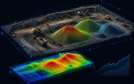
Earthwork & Volume Analysis
 Cut and Fill Volume Calculations
- Earthwork Billing Accuracy
- Terrain Modelling for Foundation Planning

Construction Progress Monitoring
- Timestamped Aerial Progress Records
- Multi-Zone Site Monitoring
- Client Progress Reporting
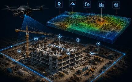
Site Documentation & Compliance
- Safety Inspection Documentation
- Regulatory Compliance Records
Get in Touch with India's
leading Commercial Drone/
UAV Manufacturers
Have Questions About Our Surveying Drones Or Photogrammetry Software?


Send us a message
TRUSTED BY 600+ GLOBAL CLIENTS