CORRIDOR
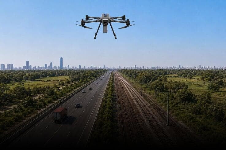
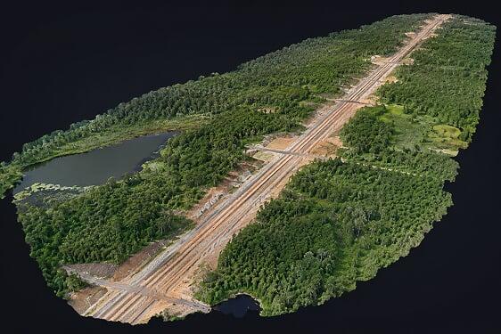
Surveyaan drones carry out high-resolution mapping of roads, railways, pipelines, and power line corridors — delivering precise alignment data and encroachment maps across the full length of any linear infrastructure project in India.
Use Cases
Corridor mapping is a critical application for drones across India's infrastructure sector. Surveyaan drones help carry out high-resolution mapping of networks and natural corridors with linear development — including roads, railways, power lines, pipelines, rivers, and canals. Below are a few of the applications:
Mapping Every Kilometre of India's Infrastructure Corridors.
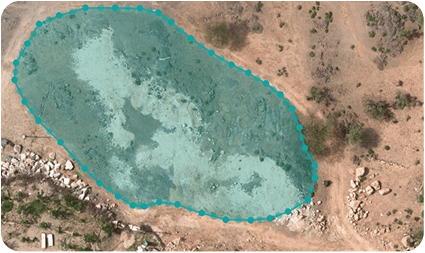
Alignment & Route Planning
 Road & Highway Alignment Mapping
- Railway Track Corridor Survey
- Pipeline & Power Line Route Mapping
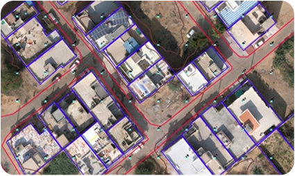
Encroachment & ROW Detection
- Identify Encroachments Along Corridors
- Right-of-Way Boundary Verification
- Legal Land Record Documentation
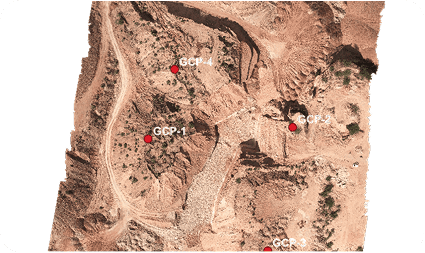
Cross-Section & Volume Analysis
- Automated Cross-Section Generation
- Cut and Fill Volume Calculations
Get in Touch with India's
leading Commercial Drone/
UAV Manufacturers
Have Questions About Our Surveying Drones Or Photogrammetry Software?


Send us a message
TRUSTED BY 600+ GLOBAL CLIENTS