Land Survey
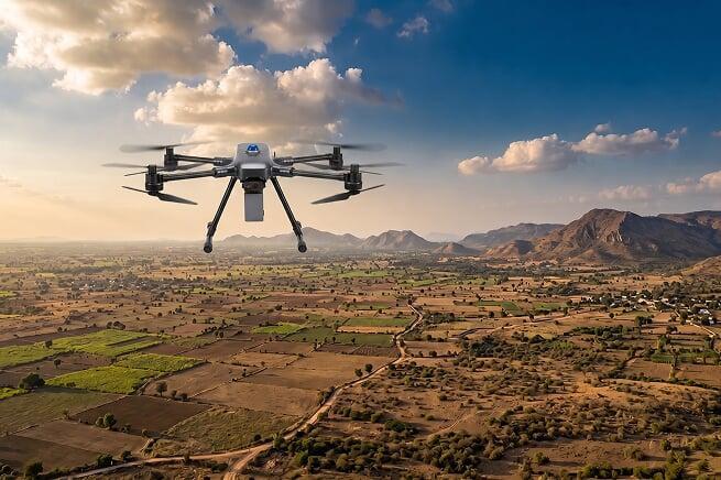
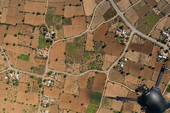
Surveyaan drones help achieve fast and precise aerial surveys of any location - providing accurate spatial data even from difficult-to-access terrain across India, at a fraction of the time and cost of traditional survey methods.
Use Cases
Surveying is an important task and critical for the success of any infrastructure project. Traditional equipment takes days and generates very few data points — leading to inaccuracies. Drones have emerged as an effective tool and can survey hundreds of hectares in just a few hours. Below are a few of the applications:
Achieving Fast and Precise Aerial Surveys Across Any Terrain.
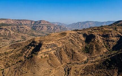
Topographic Survey & Terrain Mapping
 High-Density Topographic Data Capture
 - Digital Terrain Model Generation
- Contour Map Production
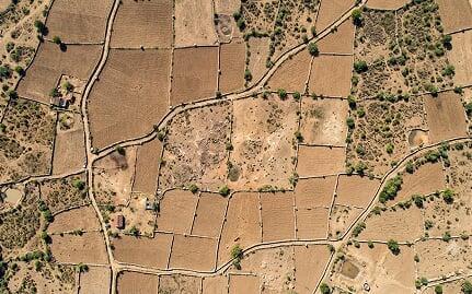
Boundary & Cadastral Mapping
- Centimetre-Accurate Boundary Mapping
- Government Land Record Generation
- Dispute Resolution Documentation
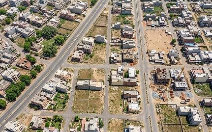
Urban & Infrastructure Planning
- Urban Base Map Generation
- Infrastructure Layout Planning
Get in Touch with India's
leading Commercial Drone/
UAV Manufacturers
Have Questions About Our Surveying Drones Or Photogrammetry Software?


Send us a message
TRUSTED BY 600+ GLOBAL CLIENTS