Mining
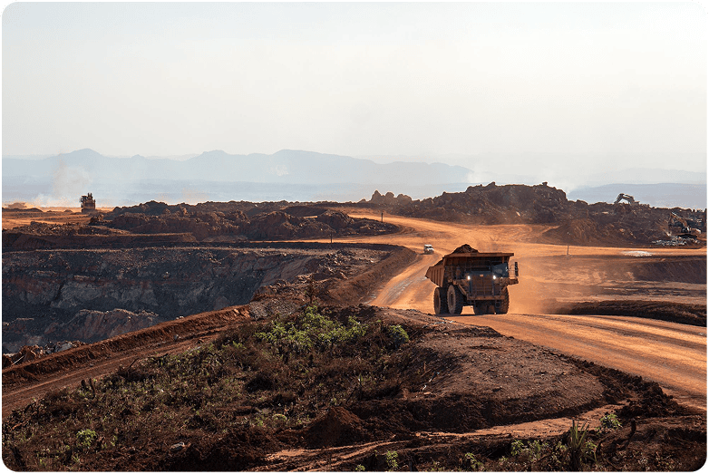
Surveyaan One Helps Carry Out High Resolution Mapping Of Mines By Targeting Its Exact Location And Collecting Visual Data Of Volatile Areas.
Use Cases
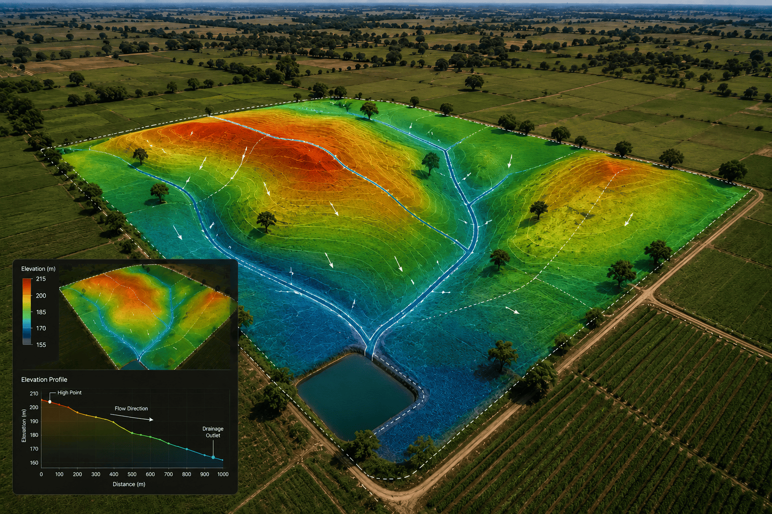
Drones have emerged as an effective tool for mine planners and consultants in the last few years. They provide an array of benefits to consultants — keeping the safety of personnel intact while drastically reducing the time these professionals spend on the field. Below are a few of the applications:
Collecting Visual Data Of Volatile Areas.
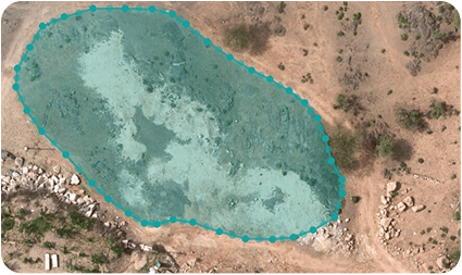
Stockpile Volume Estimation
 Calculate The Stockpile Volume And Amount Of Material Removed From The Ground At Different Timeframes
- Measure Accurate Excavations
- Cut And Fill Volumes With Lightning Fast Speed
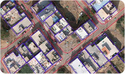
Mine Planning and Mapping
- Preperation Of Mine Plans
- Safe And Strategic Mine Operations
- Structural Information
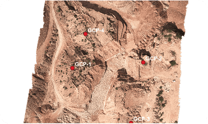
Asset and Area Mapping
- Identify And Mark Mining Assets
- GCP Planning And Management
Get in Touch with India's
leading Commercial Drone/
UAV Manufacturers
Have Questions About Our Surveying Drones Or Photogrammetry Software?


Send us a message
TRUSTED BY 600+ GLOBAL CLIENTS