Solar
From ground mount to rooftop assessments, Surveyaan drone survey solutions ensure precision and efficiency in planning, constructing, and monitoring India's solar energy projects.
Use Cases
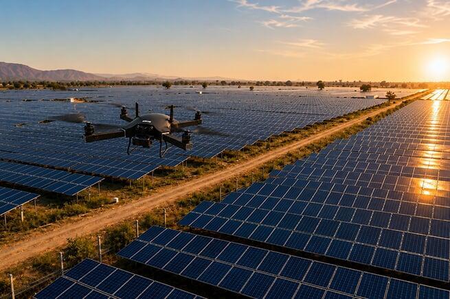
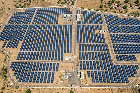
Solar projects require accurate 2D and 3D maps of the site — whether it is land or a rooftop — before the commencement of any project. Consultants require these maps for planning and analysis purposes. Aerial survey using drones is also an effective way to monitor the constructed project. Below are a few of the applications:
Surveying Every Inch of India's Solar Future.
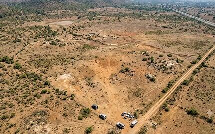
Pre-Project Site Survey
 Terrain & Slope Analysis for Panel Layout
 - Shadow Modelling & Yield Estimation
- Land Suitability Assessment
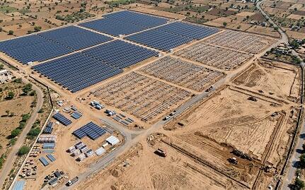
Construction Progress Monitoring
- Aerial Progress Tracking
- Infrastructure Layout Verification
- Client Progress Reporting
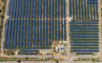
Post-Installation Inspection
- Panel Array Aerial Inspection
- Vegetation Encroachment Monitoring
Get in Touch with India's
leading Commercial Drone/
UAV Manufacturers
Have Questions About Our Surveying Drones Or Photogrammetry Software?


Send us a message
TRUSTED BY 600+ GLOBAL CLIENTS