
In recent years, surveying drones have completely transformed how professionals collect, process, and visualize land data. From construction to mining, and agriculture to infrastructure, the ability to generate high-accuracy 3D models using drones and photogrammetry software has made traditional methods faster, safer, and more cost-effective.
In this blog, we’ll explore:
What is a Survey Drone?
A survey drone is a UAV (Unmanned Aerial Vehicle) equipped with high-resolution cameras or sensors, designed to capture aerial data. Unlike general-purpose drones, survey drones are optimized for mapping, land measurement, and topographic data collection.
They fly over the area of interest in a pre-planned path and capture overlapping images that are later stitched together using photogrammetry software to form orthophotos, elevation models, and 3D reconstructions.
A survey drone is a UAV (Unmanned Aerial Vehicle) equipped with high-resolution cameras or sensors, designed to capture aerial data. Unlike general-purpose drones, survey drones are optimized for mapping, land measurement, and topographic data collection.
They fly over the area of interest in a pre-planned path and capture overlapping images that are later stitched together using photogrammetry software to form orthophotos, elevation models, and 3D reconstructions.
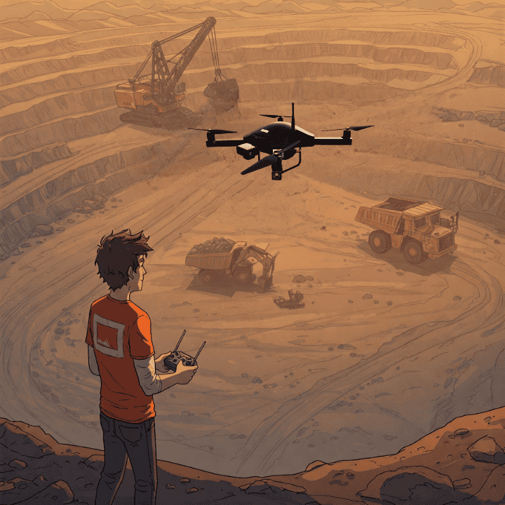
From Drone Imagery to 3D Models: How It Works
Here’s a simplified workflow:
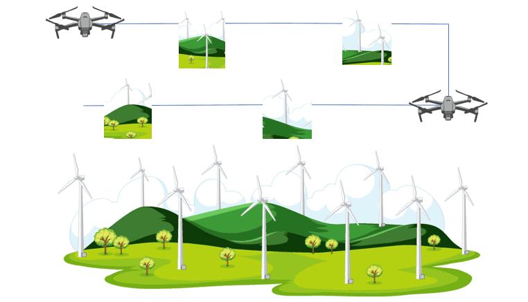
- Data Capture: The drone autonomously flies and captures hundreds (or thousands) of geotagged images.
- Photogrammetry Processing: Images are uploaded to photogrammetry software like GeoWorkspace or other photogrammetry software
- 3D Model Generation: The software uses algorithms to create a point cloud, which is then converted into a textured 3D mesh model, Digital Surface Model (DSM), and orthomosaic maps.
Why Use Drones for Surveying & 3D Modeling?
Drones provide:
High Accuracy — Sub-centimeter precision with RTK/PPK-enabled drones.
Time & Cost Savings — Rapid data collection compared to ground surveys.
Detailed 3D Models — Generate orthomosaics, point clouds, and digital elevation models (DEMs).
Improved Safety — Access hard-to-reach or hazardous areas without risk.
Applications of 3D Models in Surveying?
3D models generated from drone data are highly valuable across industries.
Construction Planning: Monitor site progress and generate as-built documentation.
Topographic Mapping: Quickly survey large areas with high resolution and accuracy.
Mining & Quarrying: Measure stockpile volumes and site changes.
Urban Planning: Create detailed models of buildings, roads, and terrain.
Agriculture: Analyze terrain and water flow for better land management.
Top Photogrammetry Software for 3D Modeling
To turn drone-captured images into 3D models, you need powerful photogrammetry software.
Surveyaan Geoworkspace: Cloud-based processing with easy sharing.
Surveyaan V1: Survey drone designed specifically for surveying, mapping, and 3D modeling
To turn drone-captured images into 3D models, you need powerful photogrammetry software.
Surveyaan Geoworkspace: Cloud-based processing with easy sharing.
Surveyaan V1: Survey drone designed specifically for surveying, mapping, and 3D modeling
Survey drones and 3D modeling are revolutionizing industries by providing faster, safer, and more accurate data than traditional methods. By leveraging the right drone, sensors, and photogrammetry software, businesses can gain a competitive edge in mapping, construction, and land management.
Looking to integrate drones into your workflow? Contact us today to explore the best solutions for your needs!