Achievements
Achievements

Achievements

200+ Clients of Drone and Photogrammetry Software
520k + Acres of land processed using Surveyaan Geoworkspace
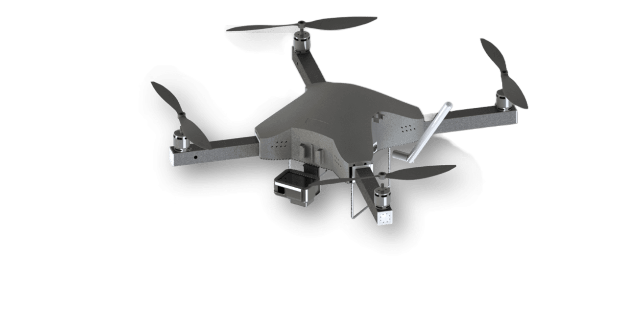
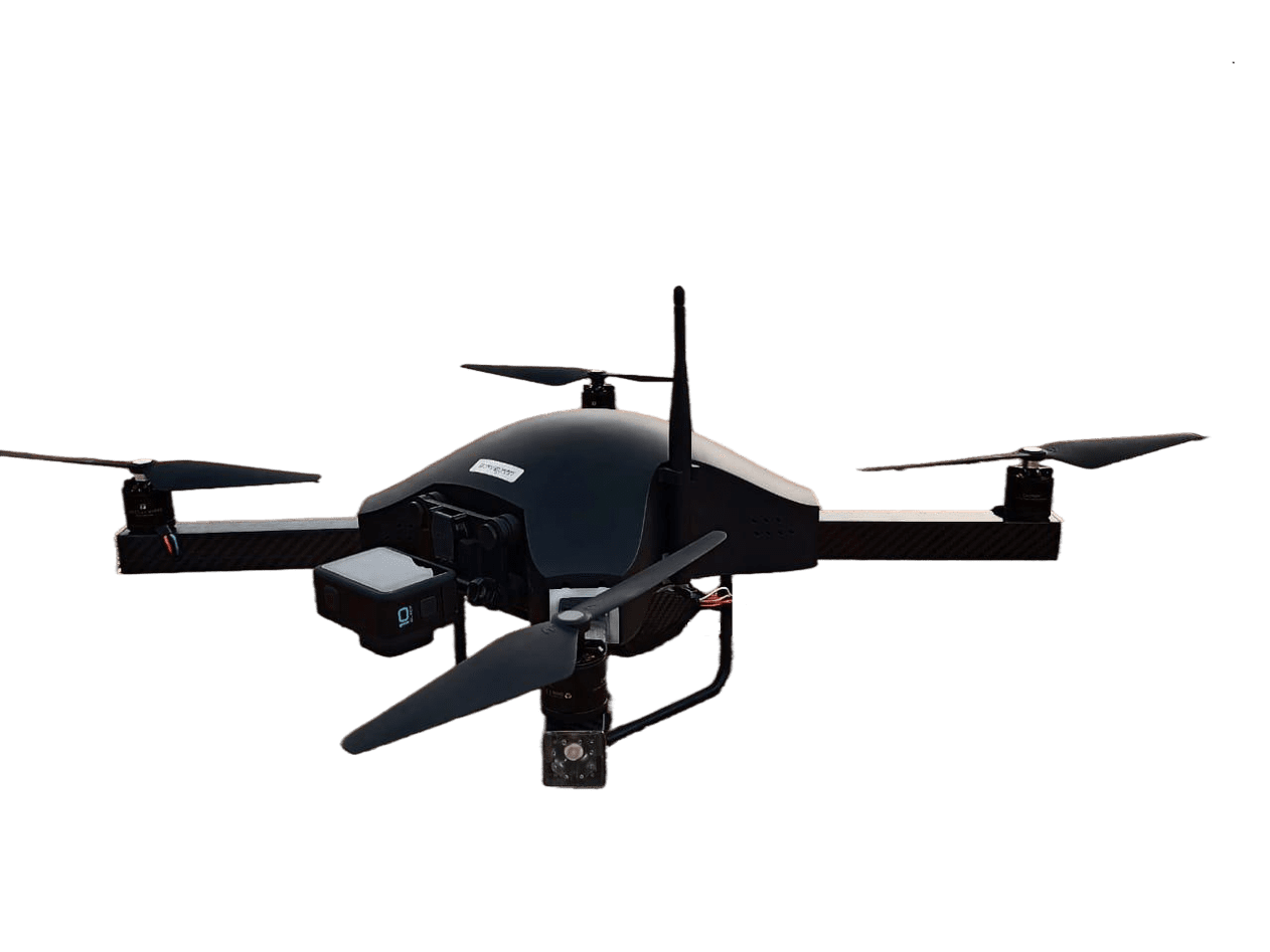
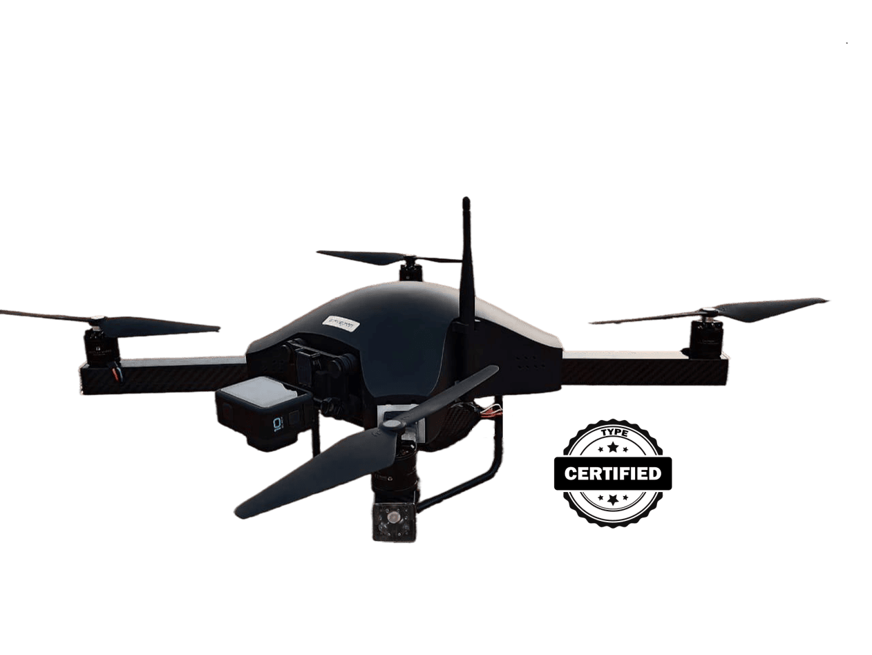
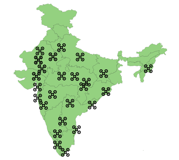
Every 24 mins our Drone takes off
Great Addition to your Survey Toolkit
Great Addition to your Survey Toolkit
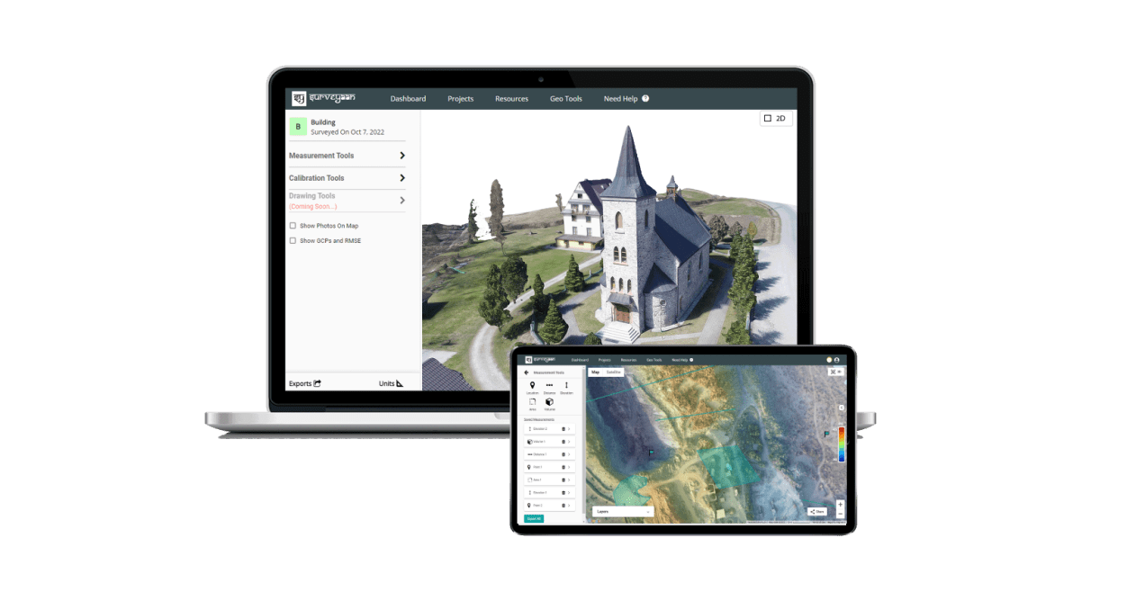
Surveyaan GeoWorkspace - Cloud based Photogrammetry Software
Surveyaan GeoWorkspace - Cloud based Photogrammetry Software
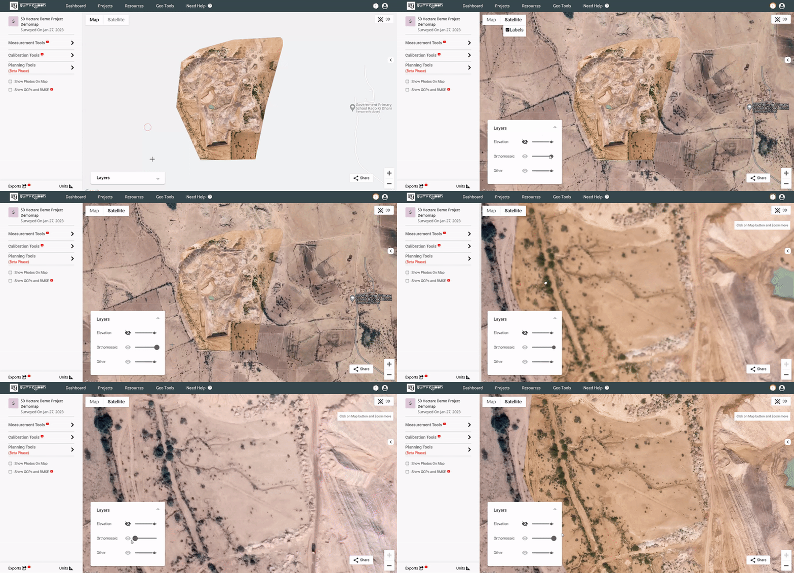
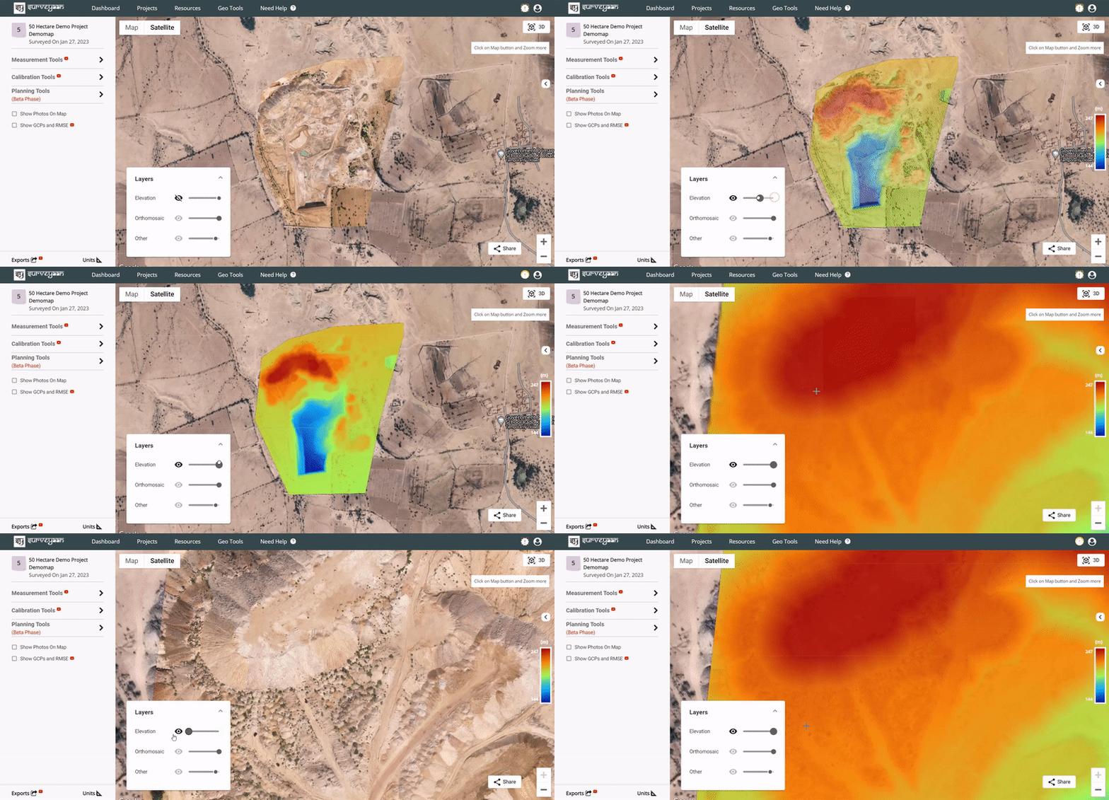
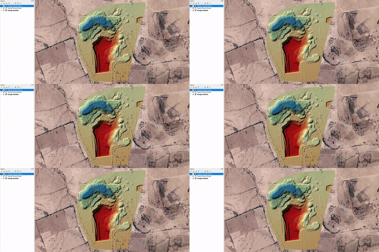
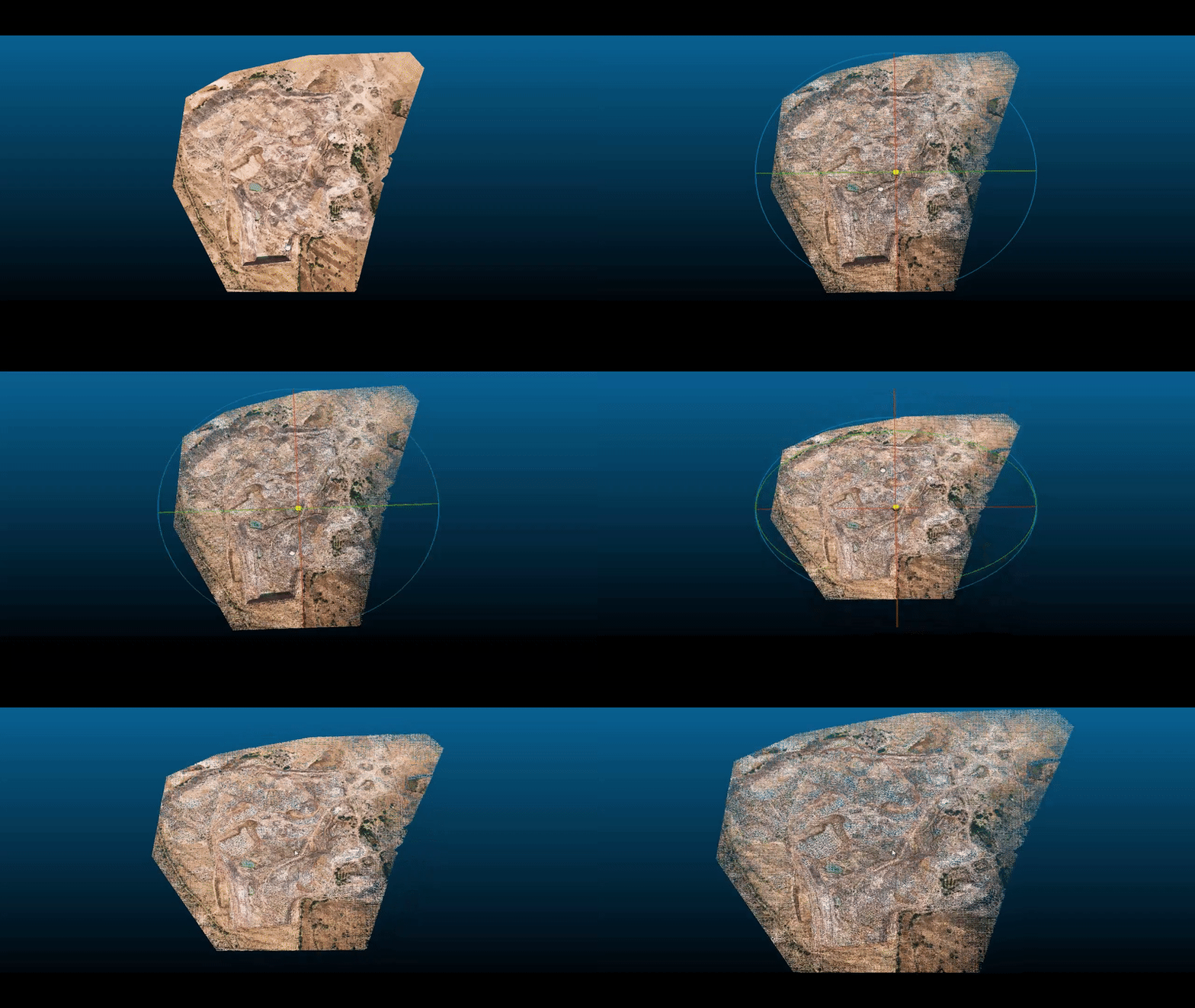
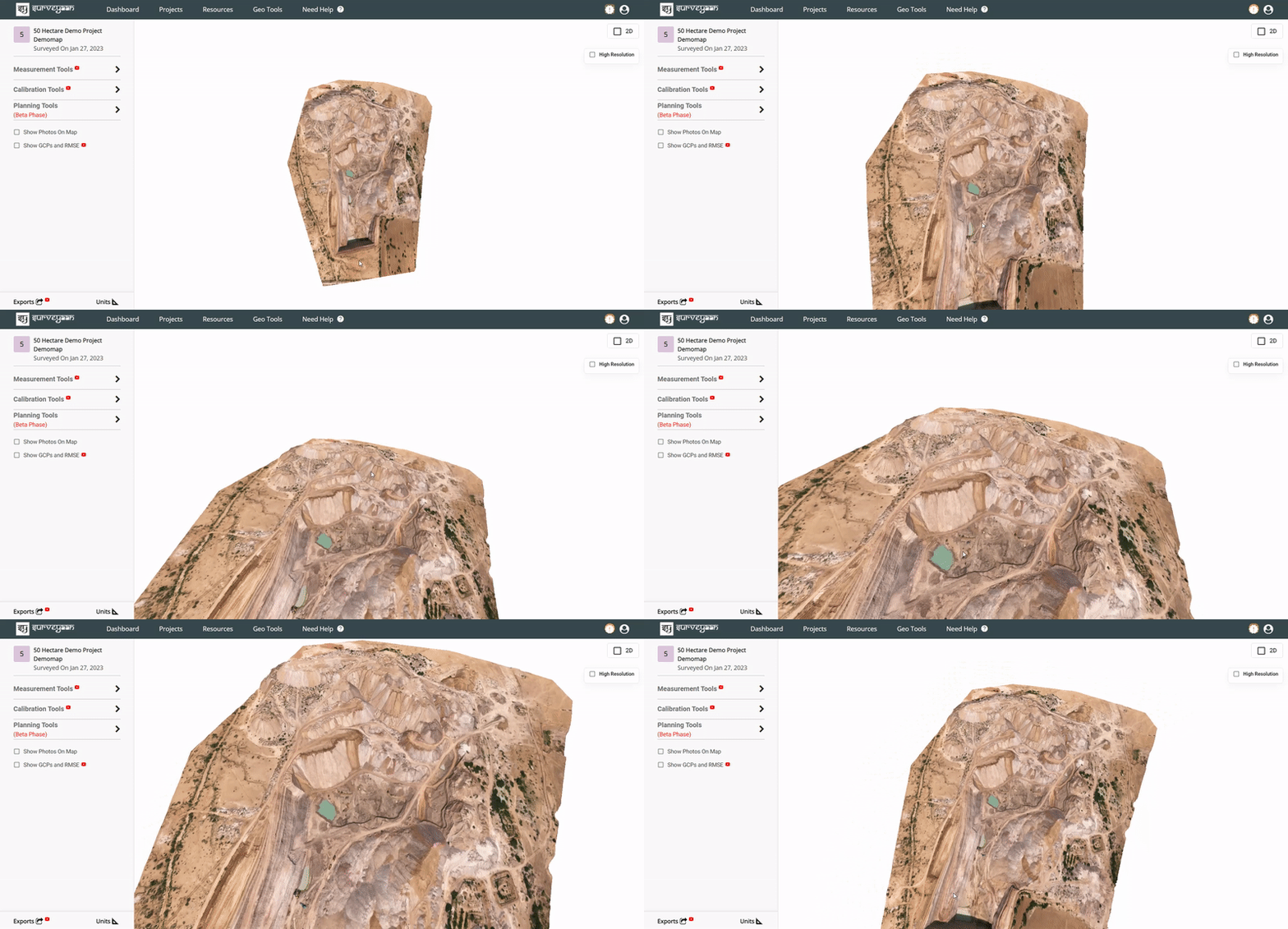

Surveyaan GeoWorkspace - Cloud based Photogrammetry Software
Surveyaan GeoWorkspace - Cloud based Photogrammetry Software


Surveyaan GeoWorkspace - Cloud based Photogrammetry Software
Surveyaan GeoWorkspace - Cloud based Photogrammetry Software


Applications
Applications
Applications
What Customers Say
Chintan Vadariya
Chintan Vadariya
As per my overview & experience, I had great experience of drone for site survey . I did site survey and its really helps me to do time saving site survey as compare to manual technique. Also helps me to convince the client & close the deal.
Shailendra Kumar Soni
Roshan Sharma
Designed with dedication to help individuals and enterprises to automate the geographical surveys. Comes with one of the most advanced technology and jaw dropping cloud software support for backend rendering of data collected.
Indraneel Dawande
The Surveyaan executives very nice in terms of deliverable
of technical input and well with good etiquette.
Krishna Kumar
Excellent responsive and professional team. Very courteous in patiently responding to all novice questions.
What Customers Say
Chintan Vadariya
Chintan Vadariya
As per my overview & experience, I had great experience of drone for site survey . I did site survey and its really
helps me to do time saving site survey as compare to manual technique. Also helps me to convince the client
& close the deal.
Shailendra Kumar Soni
Roshan Sharma
Designed with dedication to help individuals and enterprises to automate the geographical surveys.
Comes with one of the most advanced technology and jaw dropping cloud software support
for backend rendering of data collected.
Our Valued Clients
Our Valued Clients
Our Dealers
Our Dealers
Newsroom
Newsroom
Download Brochure
Contact Us
Do not hesitate to contact us with any queries.

