Use Cases
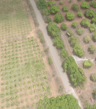
Crop Monitoring
- Monitoring weather conditions
- Seasonal Crop Planning
- Soil Analysis of the field
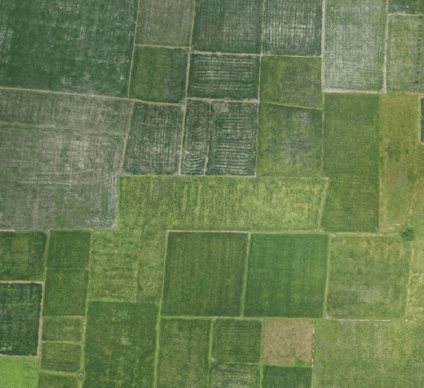
Plot Management
- Plot-level planning and statistics of the plots
- Crop Scouting
- Boundary Measurement of the plots
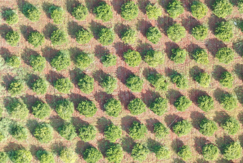
Crop Counting
- Individual Crop Identification
- Crop Damage Assessment
- Detailed Snapshot of Crops
- Crop Health Detection
Note: All the outputs above are generated using our photogrammetry software Surveyaan GeoWorkspace.
Use Cases
Crop Monitoring
- Monitoring weather conditions
- Seasonal crop planning
- Soil analysis of the field
Plot Management
- Plot level planning and statistics of the plots
- Crop scouting
- Boundary mesurement of the plots
Crop Counting
- Individual Crop Identification
- Crop Damage Assessment
- Detailed Snapshot of Crops
- Crop Health Detection
Note: All the outputs above are generated using our photogrammetry software Surveyaan GeoWorkspace.
