Use Cases
Surveying is an important task and critical for the success of any infrastructure project. But surveying with traditional equipment take days and generate very few data points of land which leads to inaccuracies. Also data collected with Total Stations are difficult to visualize. Drones in this case has emerged as an effective tool and can do hundreds of hectares of survey in few hours.
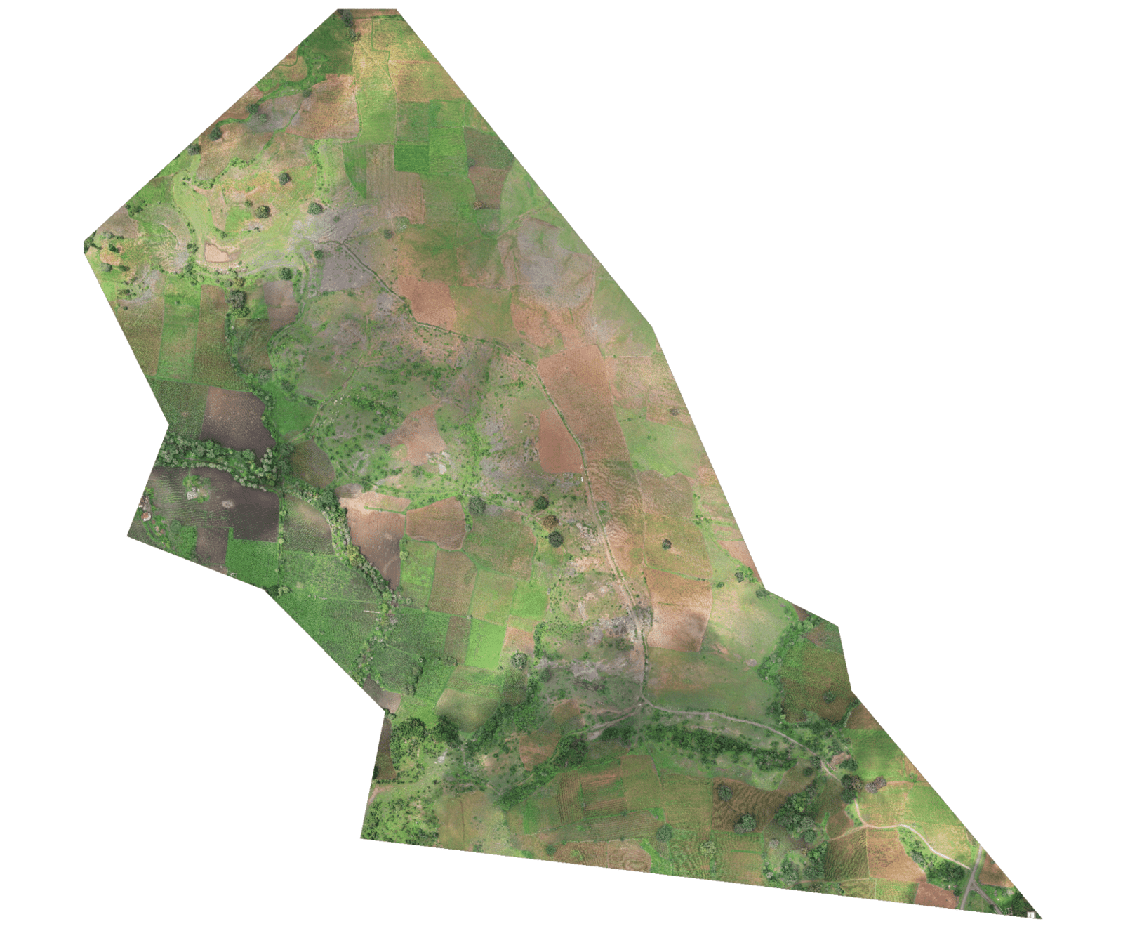
Land Surveying
- Site Investigation
- High Resolution Outputs
- Precise Measurements
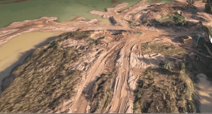
Riverbed Survey
- DTM/DSM Generation
- LC Section Profile Generation
- Risk Analysis Study
Note: All the outputs above are generated using our photogrammetry software Surveyaan GeoWorkspace.
Land Surveying
- Site investigation
- High resolution outputs
- Precise measurements
Riverbed Survey
- DTM/DSM generation
- LC section profile generation
- Risk analysis study
Note: All the outputs above are generated using our photogrammetry software Surveyaan GeoWorkspace.
