Use Cases
Corridor Mapping is a critical application for drones. Drones offer a powerful solution for corridor mapping due to their efficiency, accuracy, and adaptability.Drones equipped with sensors and software can efficiently and accurately map long , narrow areas like roads, pipelines, power lines, railways, and other linear features.
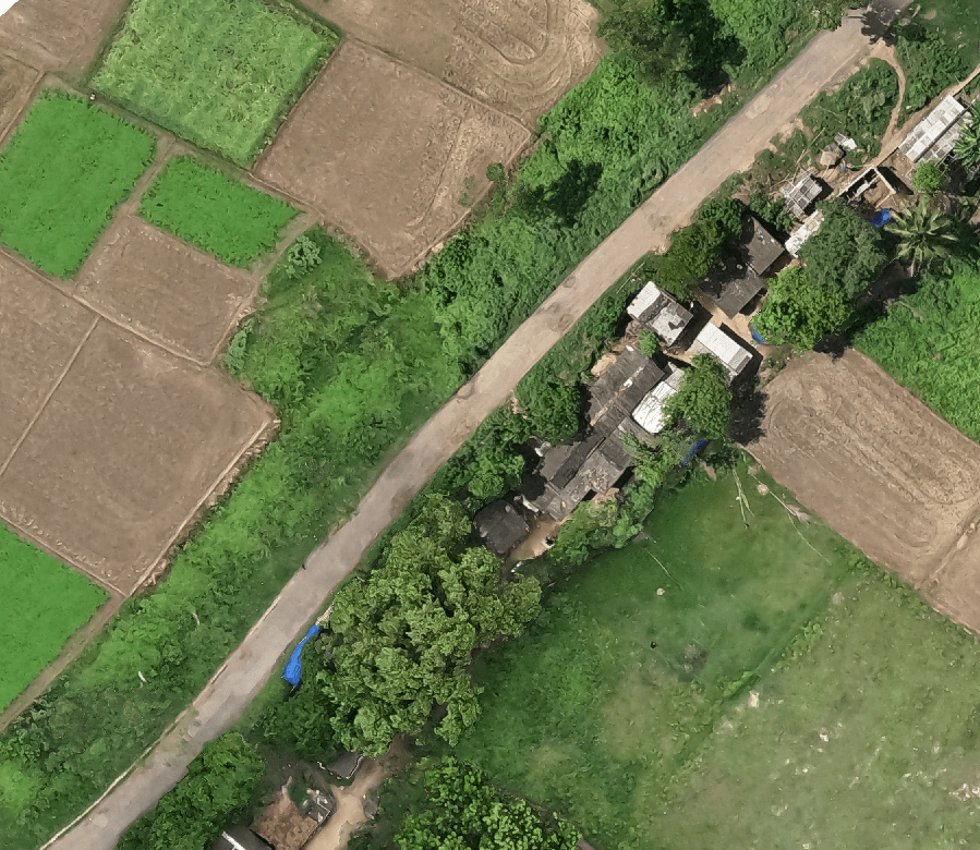
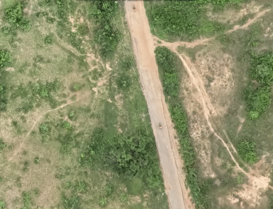
Road Survey
- Precise Mapping and Management
- Generate Contours and Points in seconds
- Generate LC Sections with ease
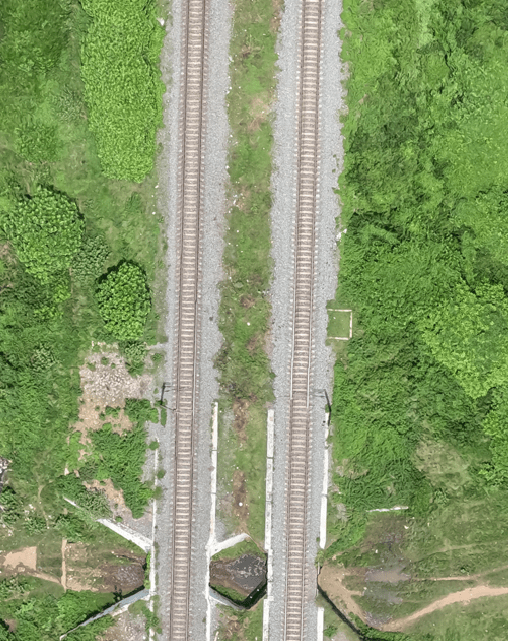
Rail Track Inspection
- Planning and monitor project process
- Inspecting tracks, buildings and bridges
- Decision Making
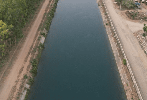
Canal Survey
- Simulate Models
- Physical Damage checks
- Visualize Area of interest
Note: All the outputs above are generated using our photogrammetry software Surveyaan GeoWorkspace.
Use Cases
Corridor Mapping is a critical application for drones. Drones offer a powerful solution for corridor mapping due to their efficiency, accuracy, and adaptability.Drones equipped with sensors and software can efficiently and accurately map long , narrow areas like roads, pipelines,power lines, railways, and other linear features.
Road Survey
- Precise Mapping and Management
- Generate Contours and Points in seconds
- Generate LC sections with ease
Rail Track Inspection
- Planning and monitor project process
- Inspecting tracks, buildings and bridges
- Decision Making
Canal Survey
- Simulate models
- Physical damage checks
- Visualize area of interest
Note: All the outputs above are generated using our photogrammetry software Surveyaan GeoWorkspace.
