In the ever-evolving landscape of technology, precision is paramount, especially when it comes to location-based services. This blog series delves into the world of Differential Global Navigation Satellite Systems (DGNSS). In this inaugural post, we will unravel the diverse domains where accuracy is not just a preference but an absolute necessity and also take you on a journey into the cosmos of GNSS.
Applications
Surveying and Mapping
- In the world of surveying and mapping, accuracy is indispensable for creating reliable and detailed spatial representations.
- Accurate land surveying is essential for a variety of purposes, such as determining property boundaries, creating topographic maps, and supporting the construction of buildings and infrastructure.
Navigation
- It helps in ensuring safe navigation, particularly in congested or hazardous locations.
- Display real-world scenarios in which precise location is a nautical requirement.
- It helps in ensuring safe navigation, particularly in congested or hazardous locations.
- Display real-world scenarios in which precise location is a nautical requirement.
Precision Agriculture
- Transforming agriculture by providing precise planting, fertilization, and harvesting.
- Illustrate the impact of accuracy on resource optimization, cost reduction, and increased crop yields.
- Transforming agriculture by providing precise planting, fertilization, and harvesting.
- Illustrate the impact of accuracy on resource optimization, cost reduction, and increased crop yields.
Emergency Response and Public Safety
- Examine the vital role of accurate location data in emergency situations, such as natural disasters or accidents.
- Showcase how accurate location data can significantly improve response times and aid in effective crisis management.
Emergency Response and Public Safety
- Examine the vital role of accurate location data in emergency situations, such as natural disasters or accidents.
- Showcase how accurate location data can significantly improve response times and aid in effective crisis management.
Since now we know why accuracy is a very important factor in our daily commutes, let us take a journey into the world of GNSS.
What is GNSS?
A standalone GNSS (Global Navigation Satellite System) is a constellation of satellites that relies exclusively on satellite signals to calculate the user’s position, velocity, and time. It provides signals from space that transmit positioning and timing data to GNSS receivers. The receivers then use this data to determine location.
A standalone GNSS (Global Navigation Satellite System) is a constellation of satellites that relies exclusively on satellite signals to calculate the user’s position, velocity, and time. It provides signals from space that transmit positioning and timing data to GNSS receivers. The receivers then use this data to determine location.
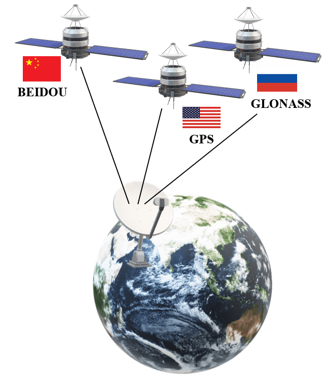
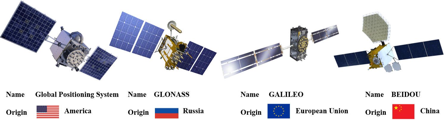
The most well-known GNSS is the Global Positioning System (GPS), although there are also GLONASS (Russia), Galileo (European Union), and BeiDou (China) satellite navigation systems.
While Global Navigation Satellite Systems (GNSS), such as GPS, provide widespread and reliable positioning information, the limitation of the standalone GNSS is in its accuracy.
Standalone GNSS such as GPS will have an error of 4–5cm with respect to the real-world coordinates
To address this limitation, Differential GNSS (DGNSS) is employed. This can bring the error up to the cm or mm level.
