Drone Survey & AutoCAD: Simplified Point Cloud
Drone Survey & AutoCAD: Simplified Point Cloud
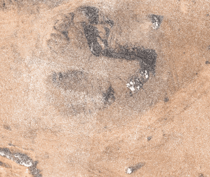
Point clouds are the simplest form of 3D Model. They are the individual points plotted in 3D space. So, basically, all these points contain their X, Y and Z coordinate information and sometimes, even the color data (in RGBA format) too. Below is a snapshot of the zoomed point cloud. We can see that there are millions and trillions of points. Hence, the name Point Cloud. The same content has been posted in video format on our YouTube channel SurveGyaan by Surveyaan.
Benefits of Point Cloud:
Benefits of Point Cloud:
- They can accurately represent relatively complex objects with finite number of points.
- Precise measurement can be achieved.
- They are easy to create. Data collection is also faster because of the large number of points are recorded at once. A drone can scan a larger area in much less time than it would take for a surveying team to do the same.
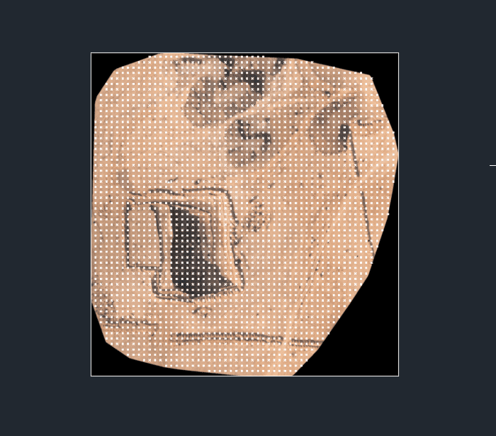
To download the point cloud file in LAZ format, you can go to the export section of Surveyaan GeoWorkspace, select Point Cloud as layer and click on the export button. Most of the times, we do not require such highly dense point cloud and therefore, we can use the simplified point cloud where the points are generated at certain distance. You can easily generate the point cloud of your wish using Surveyaan GeoWorkspace. Below is an example of simplified point cloud where the points have been generated at a distance of 5 meters. You can export the simplified point cloud using Surveyaan GeoWorkspace.
Figure 2 shows the top view of the simplified point cloud when imported in AutoCAD. For importing orthomosaic into AutoCAD , refer to this this blog.
Looking it from side view in Fig 3, we can notice two things:
- Points are completely superimposed on the orthomosaic.
- They contain data in Z direction too.
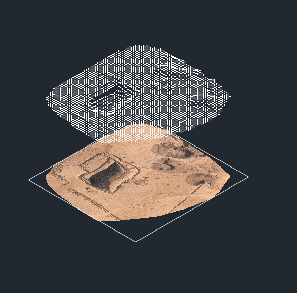
Looking it from side view in Fig 3, we can notice two things:
- Points are completely superimposed on the orthomosaic.
- They contain data in Z direction too.
Final Notes
Final Notes
We hope that you have learned a little about Simplified Point Cloud. If there is anything that you guys would like to add to this article, feel free to leave a message! Share this if you have liked it! Thanks!
