Blog tagged as autocad
LiDAR (Light Detection and Ranging) is a remote sensing technology that uses laser pulses to measure distances.
SurveyGyaan by Surveyaan
02.07.25 12:07 PM - Comment(s)
In this blog, we’ll break down what DGNSS and drone surveying are, how they work together, and why industries like mining, construction, road and railway departments are shifting to these modern tools.
SurveyGyaan by Surveyaan
02.07.25 10:44 AM - Comment(s)

In this blog, we outline essential best practices for DGNSS surveying, including how to set up your base and rover stations, prepare for field conditions, and choose the right positioning techniques (Static, RTK, PPK, or Rapid Static).
SurveyGyaan by Surveyaan
10.04.25 09:17 AM - Comment(s)

The Government released several sets of instructions to allow the operation of UAV drones called the Standard Operating Procedures for carrying out drone survey
SurveyGyaan by Surveyaan
06.01.24 01:44 PM - Comment(s)

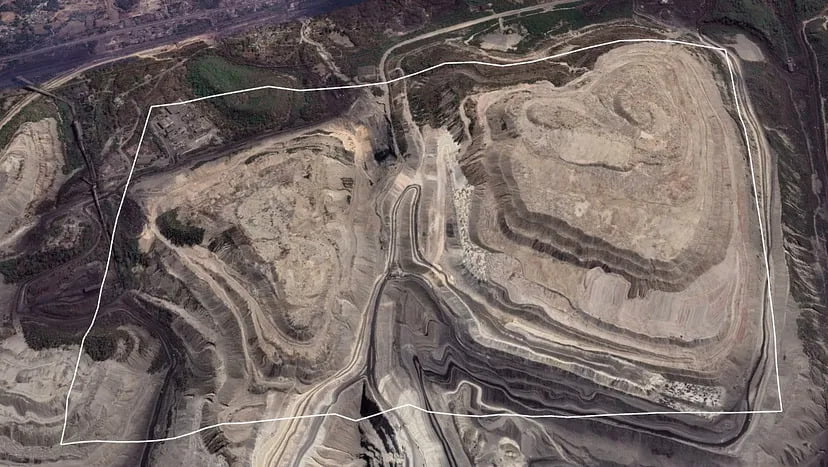
Mining is the extraction of valuable minerals or other geological materials from the earth.
SurveyGyaan by Surveyaan
05.01.24 01:38 PM - Comment(s)
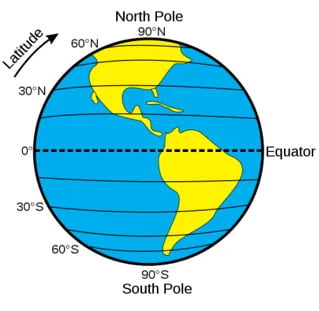
The Projected Coordinate System helps you to project a specific round-earth model onto a flat surface or map.
SurveyGyaan by Surveyaan
04.01.24 01:28 PM - Comment(s)
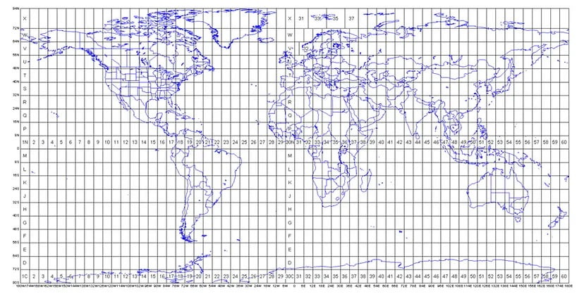
Understanding concepts such as coordinate reference systems and map projections is becoming increasingly crucial
SurveyGyaan by Surveyaan
02.01.24 12:52 PM - Comment(s)
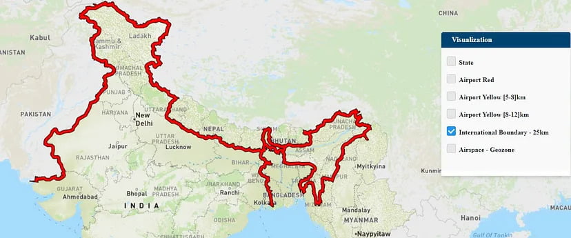
If you own a drone, there’s a good chance you may not be aware of the areas in which you can fly it.
SurveyGyaan by Surveyaan
30.12.23 12:52 PM - Comment(s)
Surveying large areas present significant challenges in terms of battery life, overlap, covering all areas, drone range, and safety.
SurveyGyaan by Surveyaan
21.12.23 02:27 PM - Comment(s)
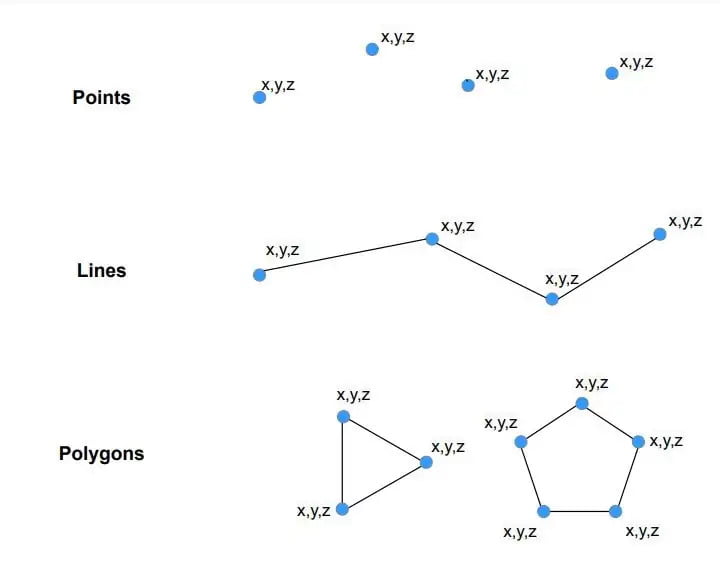
Vector data is a data structure that can be used to store spatial data. It is used to represent real-world features and assign attributes to those features.
SurveyGyaan by Surveyaan
13.12.23 12:52 PM - Comment(s)
Raster data is made up of pixels (also referred to as grid cells). Each pixel is associated with a specific geographical location. Raster data is an abstraction of the real world.
SurveyGyaan by Surveyaan
12.12.23 01:42 PM - Comment(s)
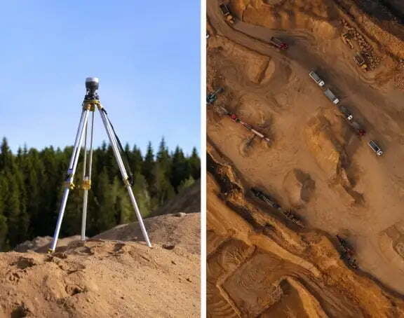
Volumetric measurements are done using aerial or ground surveying techniques to calculate the volume of stockpiles and other materials.
SurveyGyaan by Surveyaan
25.04.23 09:59 AM - Comment(s)
Point clouds are the simplest form of 3D Model. They are the individual points plotted in 3D space.
SurveyGyaan by Surveyaan
04.02.22 12:08 PM - Comment(s)
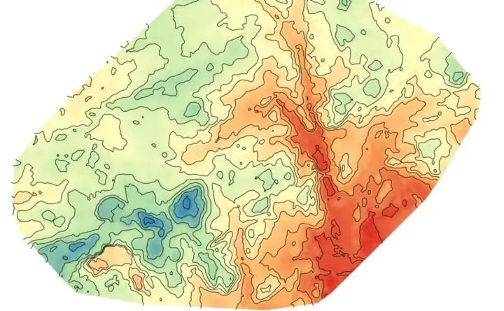
Contouring, in surveying, is the determination of elevation of various points on the ground.
SurveyGyaan by Surveyaan
28.01.22 11:30 AM - Comment(s)
Surveying is a process of determining or identifying different features of a land area. It helps in planning or mapping an area.
SurveyGyaan by Surveyaan
26.01.22 06:07 AM - Comment(s)
