Blog tagged as GCP
LiDAR (Light Detection and Ranging) is a remote sensing technology that uses laser pulses to measure distances.
SurveyGyaan by Surveyaan
02.07.25 12:07 PM - Comment(s)
In this blog, we’ll break down what DGNSS and drone surveying are, how they work together, and why industries like mining, construction, road and railway departments are shifting to these modern tools.
SurveyGyaan by Surveyaan
02.07.25 10:44 AM - Comment(s)
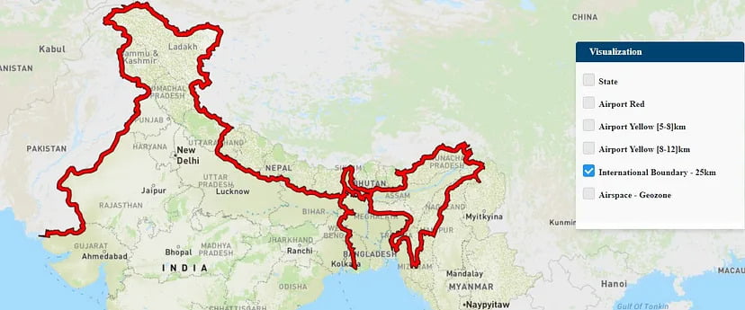
The Government released several sets of instructions to allow the operation of UAV drones called the Standard Operating Procedures for carrying out drone survey
SurveyGyaan by Surveyaan
06.01.24 01:44 PM - Comment(s)
Drones have come a long way in the survey and construction sectors, and their capabilities have greatly improved
SurveyGyaan by Surveyaan
14.12.23 01:40 PM - Comment(s)
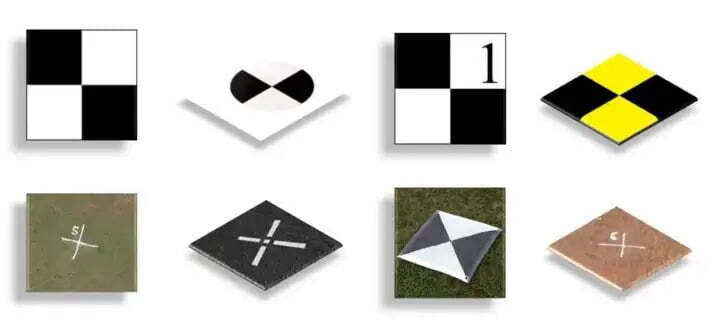
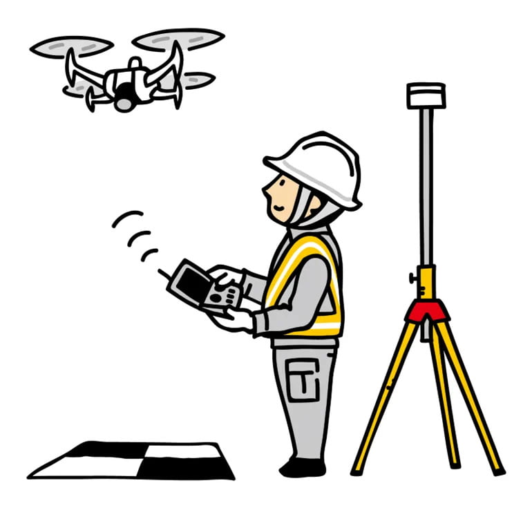
Ground Control Points (GCPs) are defined as the points on the surface of the earth which help to georeference raster data such as satellite, aerial, or drone imagery.
SurveyGyaan by Surveyaan
06.12.22 05:46 AM - Comment(s)
Volumetric surveys are topographical surveys that accurately quantify the volume of material removed from or placed at a location.
SurveyGyaan by Surveyaan
06.12.22 05:46 AM - Comment(s)
