Blog tagged as IBM
In this blog, we’ll break down what DGNSS and drone surveying are, how they work together, and why industries like mining, construction, road and railway departments are shifting to these modern tools.
SurveyGyaan by Surveyaan
02.07.25 10:44 AM - Comment(s)
Surveying is a crucial aspect of civil engineering and construction projects, providing accurate measurements and data for planning, design, and implementation
SurveyGyaan by Surveyaan
08.01.24 11:12 AM - Comment(s)
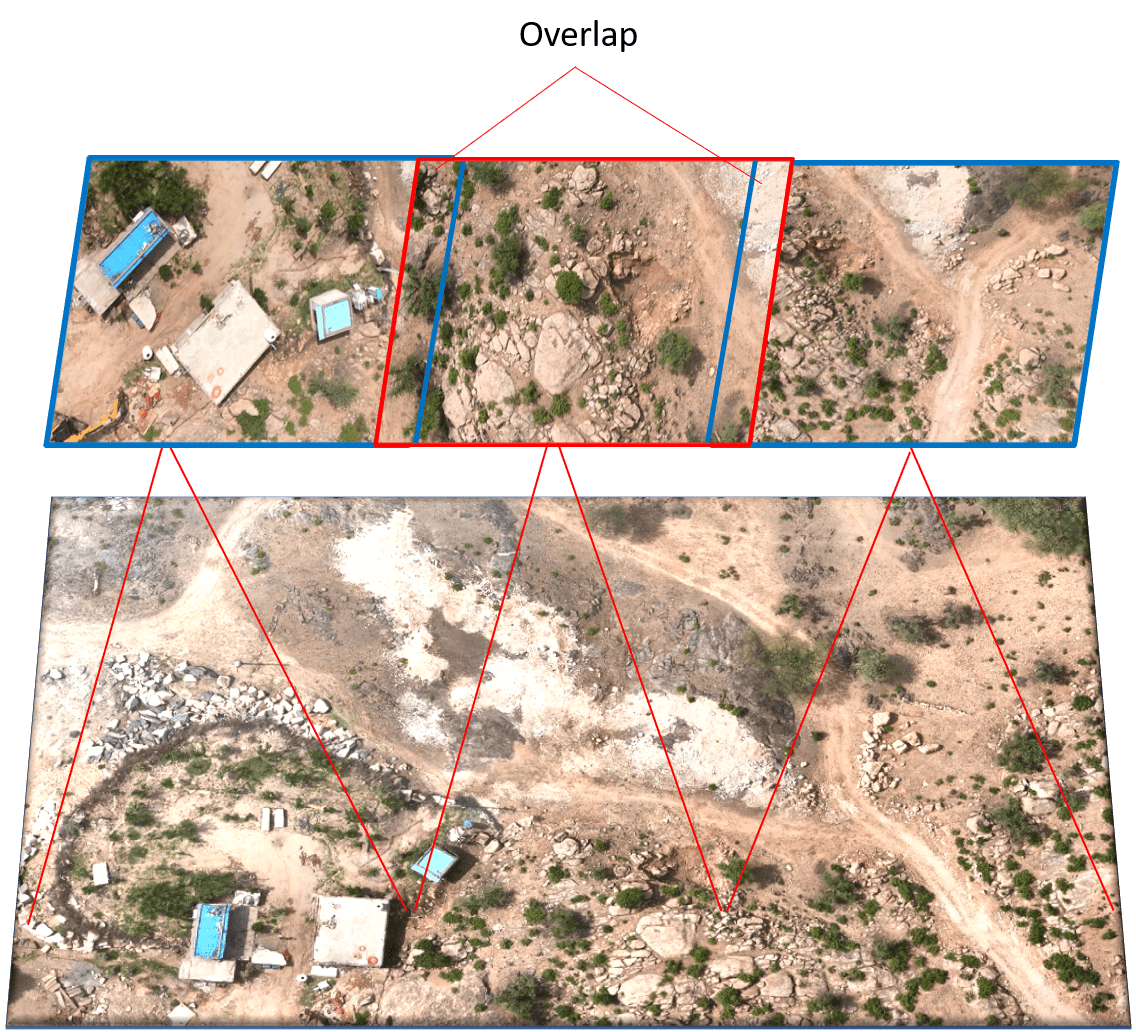
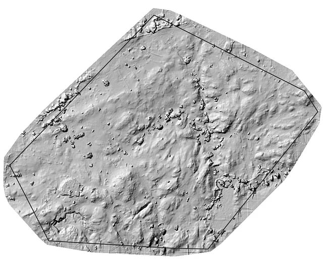
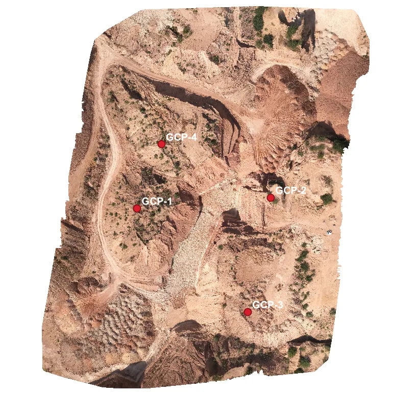
Photogrammetry is the technology of creating 3D models, orthomosaics, point clouds, or other geospatial data from a series of overlapping photographs or images.
SurveyGyaan by Surveyaan
08.01.24 11:12 AM - Comment(s)
The Government has updated the SOP for drone surveys and submission of Digital Aerial Images of Mining areas to the Indian Bureau of Mines.
SurveyGyaan by Surveyaan
08.01.24 07:01 AM - Comment(s)
Standard Operating Procedure (SOP) addresses guidelines for the drone pilot to follow during flight, pre-flight and post-flight procedures to ensure the highest degree of safety.
SurveyGyaan by Surveyaan
08.01.24 06:29 AM - Comment(s)
