Blog tagged as overlap
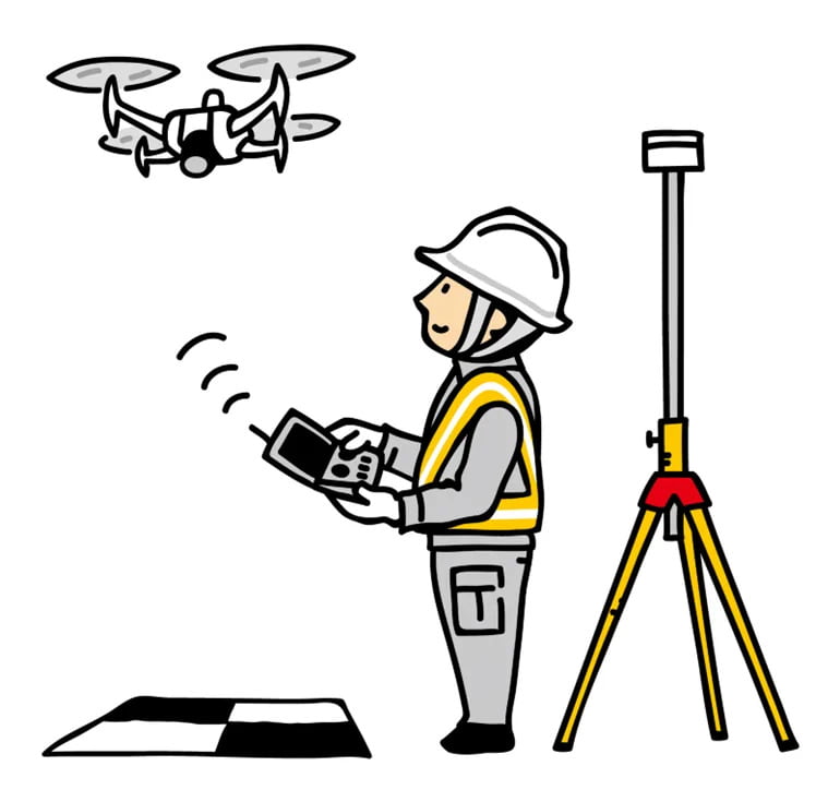
In this blog, we’ll break down what DGNSS and drone surveying are, how they work together, and why industries like mining, construction, road and railway departments are shifting to these modern tools.
SurveyGyaan by Surveyaan
02.07.25 10:44 AM - Comment(s)
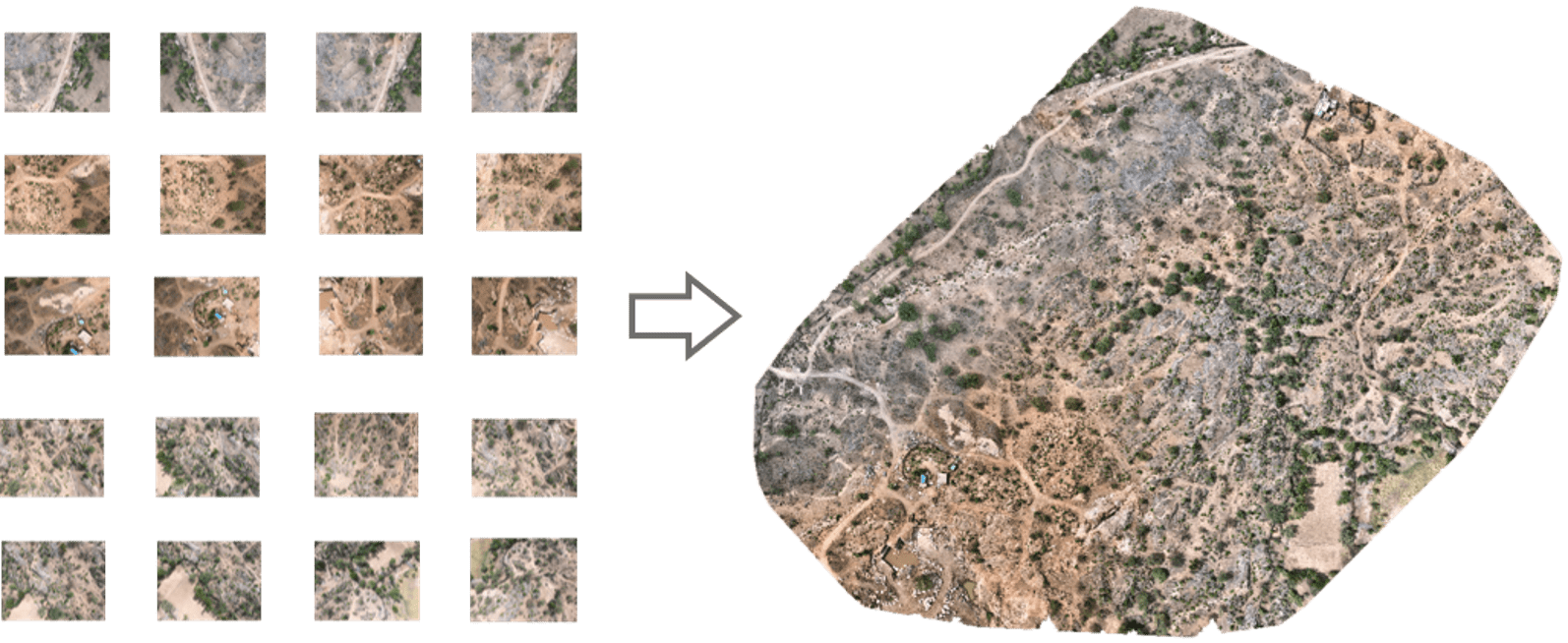
In this blog, we’ll take a closer look at orthomosaics, how they are created, and their wide-ranging applications across diverse range of fields.
SurveyGyaan by Surveyaan
09.01.24 06:50 AM - Comment(s)
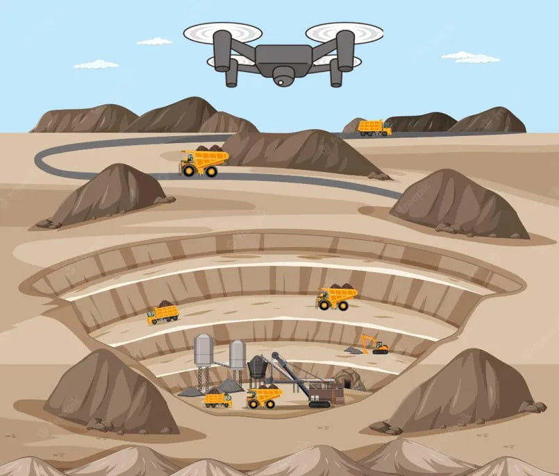
Mining is the extraction of valuable minerals or other geological materials from the earth.
SurveyGyaan by Surveyaan
05.01.24 01:38 PM - Comment(s)
We saw the initial planning phase of drone mapping in one of our previous blog. In this blog, we will discuss the Data Collection phase and how paramount it is to choose the right
SurveyGyaan by Surveyaan
21.12.23 01:34 PM - Comment(s)
Drones have come a long way in the survey and construction sectors, and their capabilities have greatly improved
SurveyGyaan by Surveyaan
14.12.23 01:40 PM - Comment(s)
Surveying is a process of determining or identifying different features of a land area. It helps in planning or mapping an area.
SurveyGyaan by Surveyaan
26.01.22 06:07 AM - Comment(s)
