Blog tagged as photogrammetry
LiDAR (Light Detection and Ranging) is a remote sensing technology that uses laser pulses to measure distances.
SurveyGyaan by Surveyaan
02.07.25 12:07 PM - Comment(s)
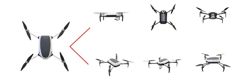
In this blog, we’ll break down what DGNSS and drone surveying are, how they work together, and why industries like mining, construction, road and railway departments are shifting to these modern tools.
SurveyGyaan by Surveyaan
02.07.25 10:44 AM - Comment(s)
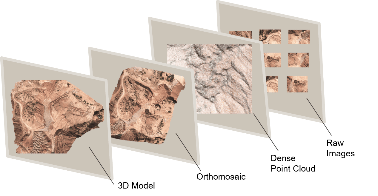
In this blog, we’ll explore the magic behind 3D models in drone surveys and unveil the countless applications that make them an vital tool in various industries.
SurveyGyaan by Surveyaan
09.01.24 12:16 PM - Comment(s)
In this blog, we will look at how point clouds are used in drone surveying and how this technology is changing the way we collect and analyze spatial data.
SurveyGyaan by Surveyaan
09.01.24 10:54 AM - Comment(s)
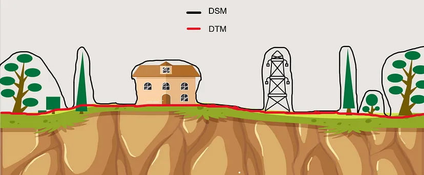
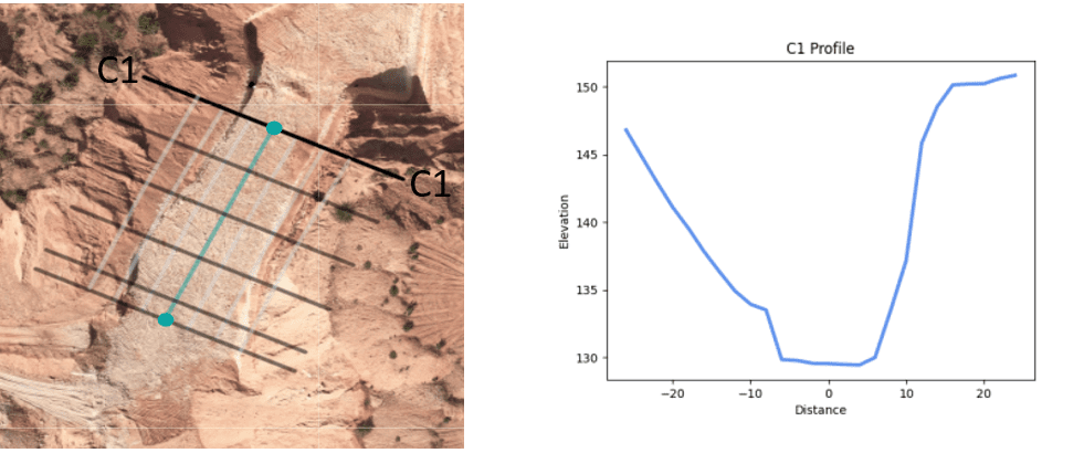
This blog will explain what DEMs are, how they differ, and how they can dramatically improve drone surveying efforts.
SurveyGyaan by Surveyaan
09.01.24 07:37 AM - Comment(s)
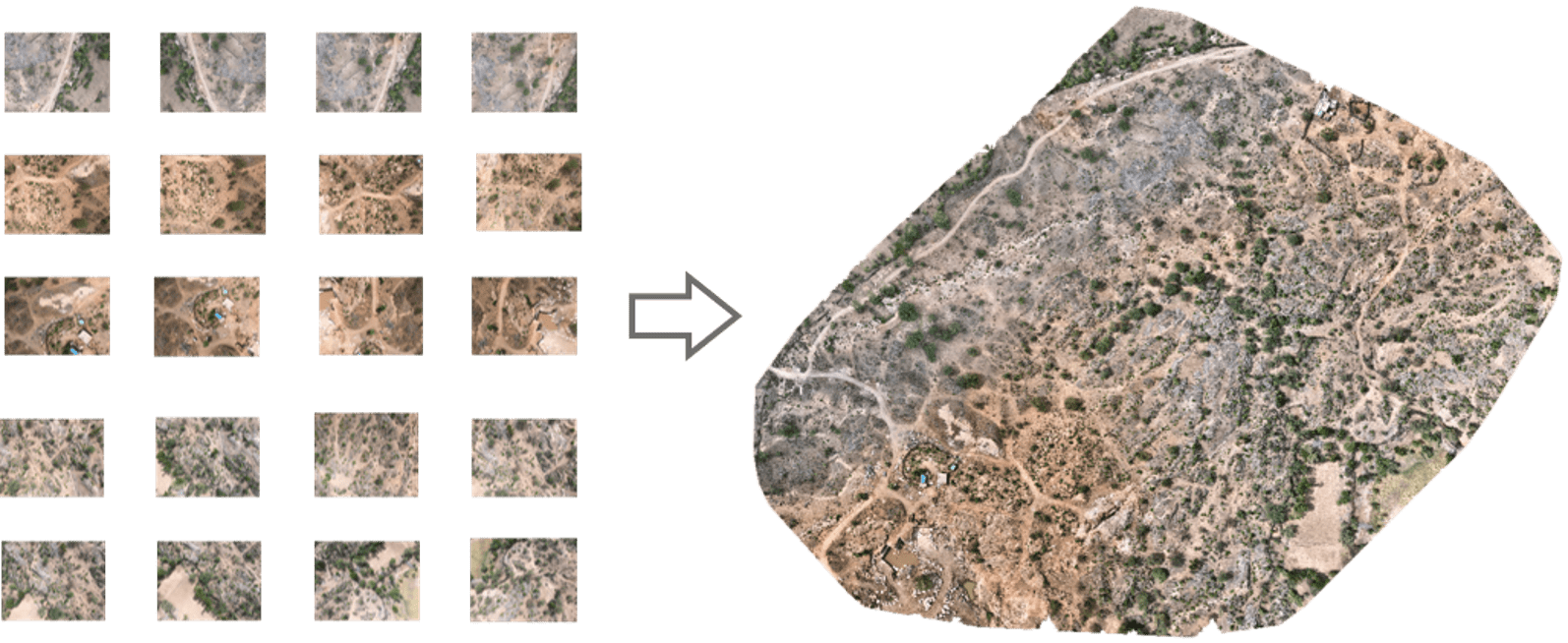
In this blog, we’ll take a closer look at orthomosaics, how they are created, and their wide-ranging applications across diverse range of fields.
SurveyGyaan by Surveyaan
09.01.24 06:50 AM - Comment(s)
Surveying is a crucial aspect of civil engineering and construction projects, providing accurate measurements and data for planning, design, and implementation
SurveyGyaan by Surveyaan
08.01.24 11:12 AM - Comment(s)
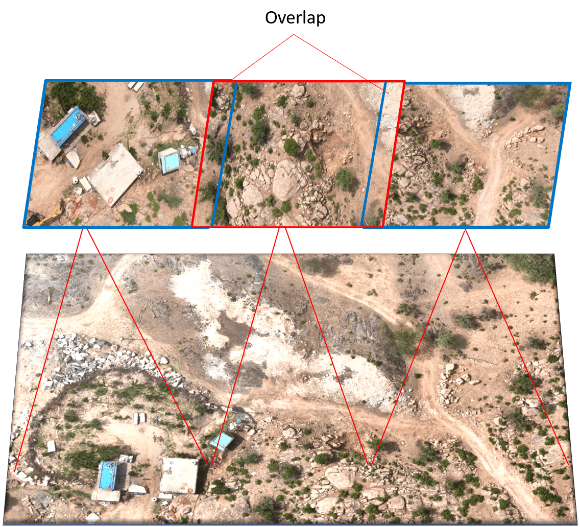
Photogrammetry is the technology of creating 3D models, orthomosaics, point clouds, or other geospatial data from a series of overlapping photographs or images.
SurveyGyaan by Surveyaan
08.01.24 11:12 AM - Comment(s)
