Blog tagged as sensors
In this blog, we’ll take a closer look at orthomosaics, how they are created, and their wide-ranging applications across diverse range of fields.
SurveyGyaan by Surveyaan
09.01.24 06:50 AM - Comment(s)
Surveying is a crucial aspect of civil engineering and construction projects, providing accurate measurements and data for planning, design, and implementation
SurveyGyaan by Surveyaan
08.01.24 11:12 AM - Comment(s)
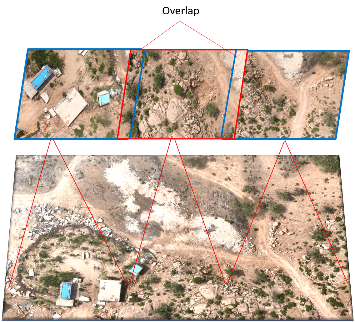
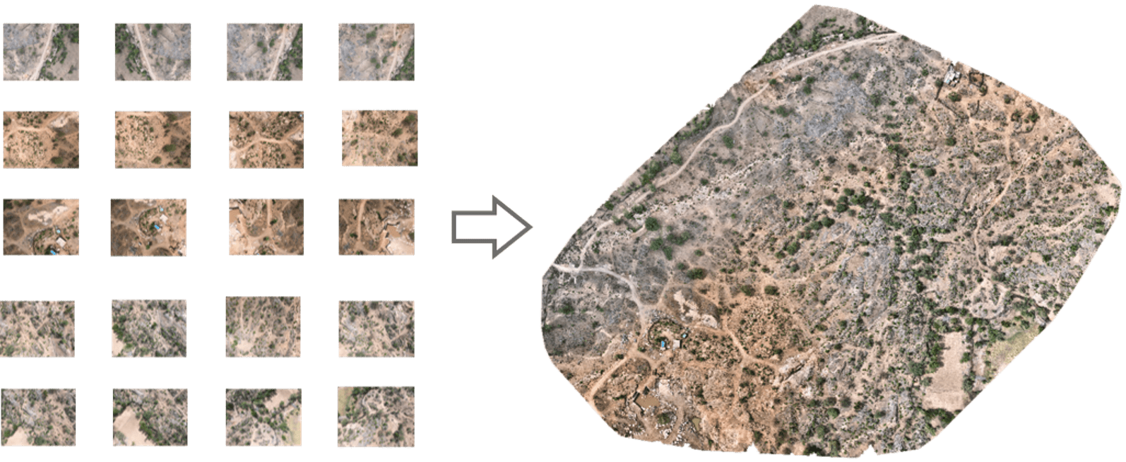
Photogrammetry is the technology of creating 3D models, orthomosaics, point clouds, or other geospatial data from a series of overlapping photographs or images.
SurveyGyaan by Surveyaan
08.01.24 11:12 AM - Comment(s)
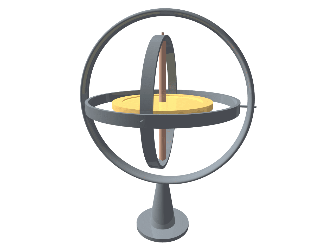
With the advancement in drone technology, various sensors have been integrated into the drones to improve the sensitivity of drones.
SurveyGyaan by Surveyaan
08.01.24 08:29 AM - Comment(s)
