Blog tagged as guidelines
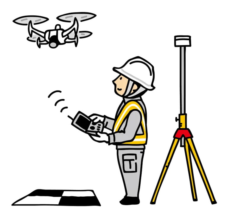
In this blog, we’ll break down what DGNSS and drone surveying are, how they work together, and why industries like mining, construction, road and railway departments are shifting to these modern tools.
SurveyGyaan by Surveyaan
02.07.25 10:44 AM - Comment(s)

Learn everything you need to know about obtaining a Unique Identification Number (UIN) for drones in India. This step-by-step guide covers drone categories, DGCA regulations, eligibility, application process via Digital Sky, and the importance of drone registration for safe and legal operations.
SurveyGyaan by Surveyaan
10.04.25 11:32 AM - Comment(s)
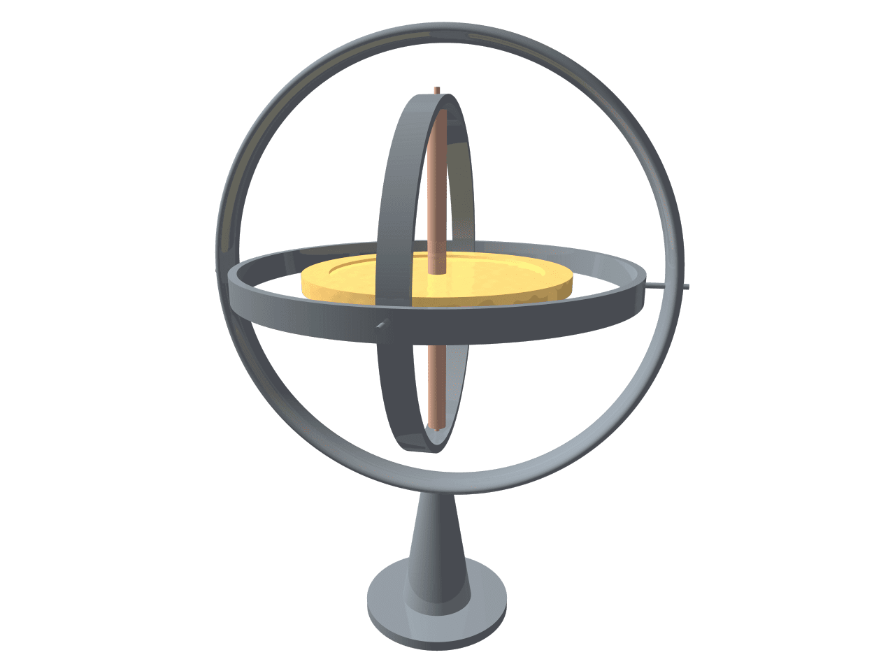
With the advancement in drone technology, various sensors have been integrated into the drones to improve the sensitivity of drones.
SurveyGyaan by Surveyaan
08.01.24 08:29 AM - Comment(s)

The Government released several sets of instructions to allow the operation of UAV drones called the Standard Operating Procedures for carrying out drone survey
SurveyGyaan by Surveyaan
06.01.24 01:44 PM - Comment(s)
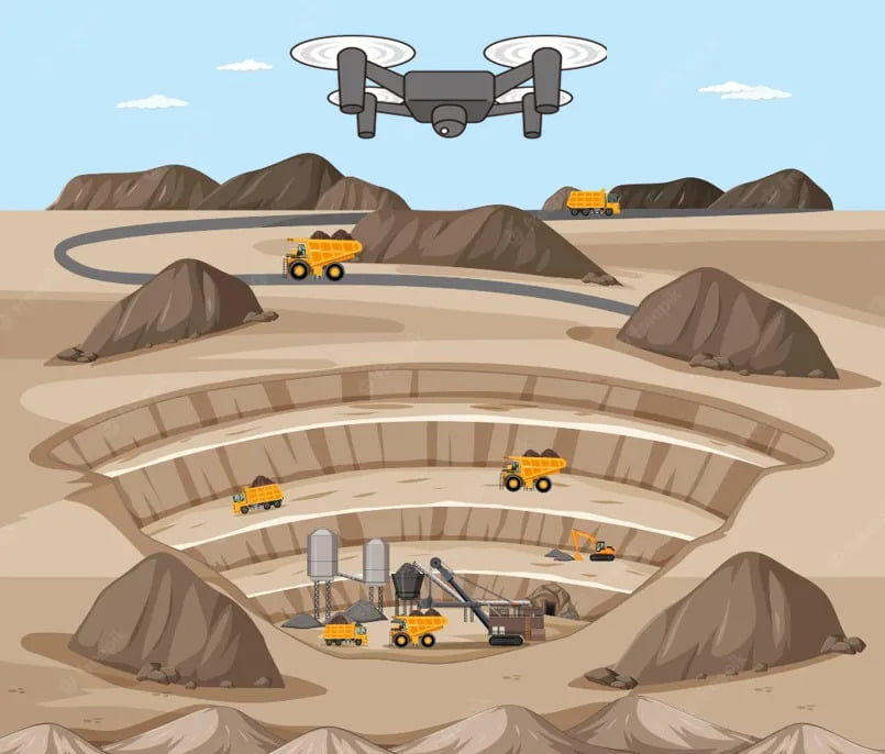
Mining is the extraction of valuable minerals or other geological materials from the earth.
SurveyGyaan by Surveyaan
05.01.24 01:38 PM - Comment(s)
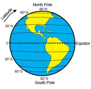
Understanding concepts such as coordinate reference systems and map projections is becoming increasingly crucial
SurveyGyaan by Surveyaan
02.01.24 12:52 PM - Comment(s)
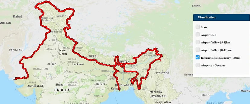
If you own a drone, there’s a good chance you may not be aware of the areas in which you can fly it.
SurveyGyaan by Surveyaan
30.12.23 12:52 PM - Comment(s)
We saw the initial planning phase of drone mapping in one of our previous blog. In this blog, we will discuss the Data Collection phase and how paramount it is to choose the right
SurveyGyaan by Surveyaan
21.12.23 01:34 PM - Comment(s)
Drones have come a long way in the survey and construction sectors, and their capabilities have greatly improved
SurveyGyaan by Surveyaan
14.12.23 01:40 PM - Comment(s)
