We saw the initial planning phase of drone mapping in one of our previous blog. In this blog, we will discuss the Data Collection phase and how paramount it is to choose the right type of mission for generating results. It is determined by the terrain and the objects to be reconstructed.
Data Collection
Drones have transformed the way we capture information. They collect massive amounts of high-quality data in real-time. Three types of missions are generally used in Drone surveys to aid the process of data collection. The user can choose a mission depending on his/her project’s requirements. Once the mission is selected, the drone flies to the initial point and takes photos regularly until it reaches the endpoint. The captured images are then processed in any photogrammetry software to obtain the results.
The common mission types used in drone surveys are:
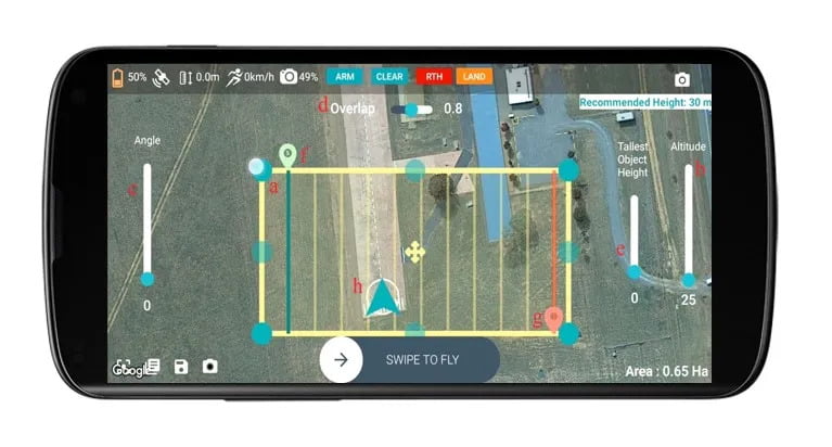
Polygon Mission
When surveyors need to map terrain or the ground, they use the polygon mission. It is suitable for flat or bare surfaces. Users can configure flight angles, altitude, and overlap using Ground Control Software (GCS). An outline of the default mission is then displayed on a base map at the current location. The default mission shape can be modified. Once the area is marked and the angle, altitude, and overlap percentge are set, the drone will automatically fly to the initial point and begin its mission. It will return to its home position once it has reached the endpoint.
Linear Mission
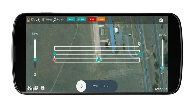
Linear missions are used to survey roads, corridors, canals, etc. It is used to analyze line-type features. The default mission shape is a line. Here you can increase the lines according to your mission, place them accordingly, and start the mission. Once the area is marked, and the altitude and lines are set, the drone will automatically fly to the initial point and begin its mission. After reaching the endpoint, it will return to its home position.
Linear missions are used to survey roads, corridors, canals, etc. It is used to analyze line-type features. The default mission shape is a line. Here you can increase the lines according to your mission, place them accordingly, and start the mission. Once the area is marked, and the altitude and lines are set, the drone will automatically fly to the initial point and begin its mission. After reaching the endpoint, it will return to its home position.
Circular Mission
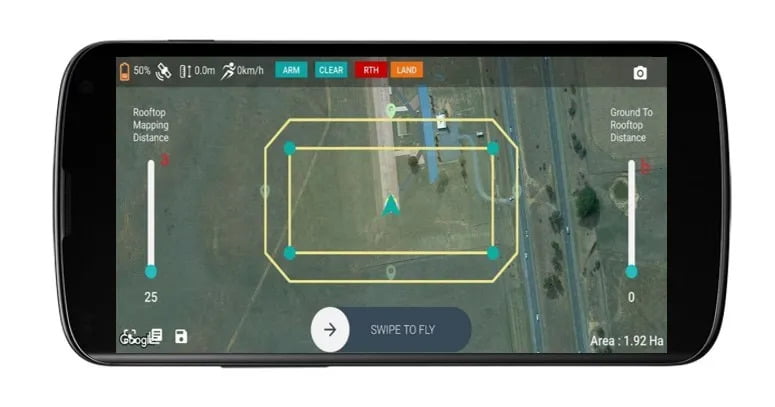
Buildings/Monuments are mapped using the circular mission. It takes a circular flight path, allowing it to capture images from all angles. Once the area has been marked, and the altitude is set, the drone will fly to the initial point and begin its mission. It returns to its home position after reaching the endpoint.
Buildings/Monuments are mapped using the circular mission. It takes a circular flight path, allowing it to capture images from all angles. Once the area has been marked, and the altitude is set, the drone will fly to the initial point and begin its mission. It returns to its home position after reaching the endpoint.
Drones are a potent tool for government agencies, research scholars, and businesses. Even though modern UAVs use sophisticated technologies to reduce accidents, you should always fly cautiously. Let’s take a closer look at how to safely operate these machines in different terrains.
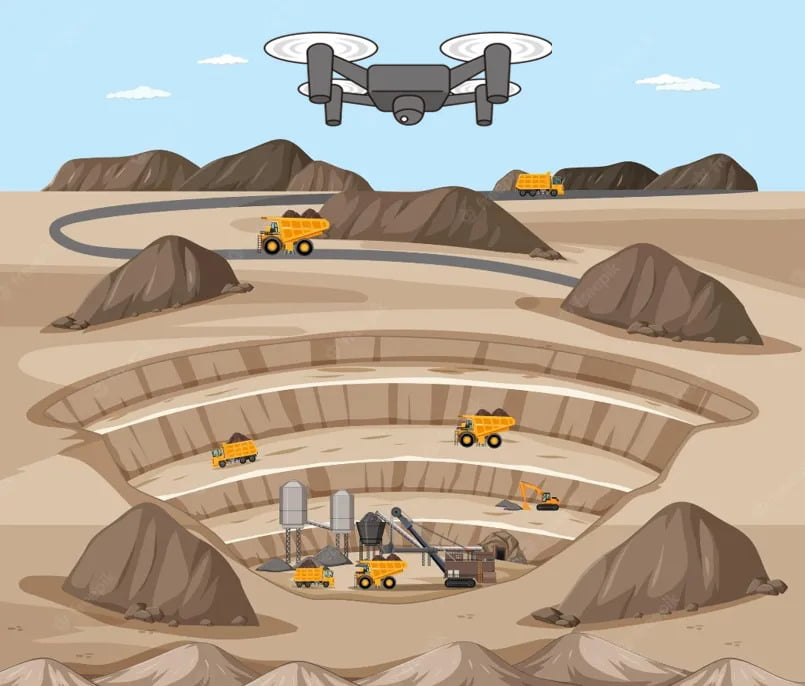
How to fly in mines?
Drones in the mining industry are a pragmatic solution to fix daily problems and play a role in reducing human risk, inspections, and repair costs while also increasing efficiency. However, we must exercise caution when flying drones in mines. When compared to traditional ground surveys, aerial surveys have the upper hand.
To get a good field of view, use the Polygon mission and keep the camera facing the ground.
Points to note before flying
- Avoid heavy machinery that emits a lot of magnetic radiation.
- Align the flight lines parallel to the pit.
- Choose a safe elevated area as the home position.
- Fly above the pit rather than inside it to avoid crashing.
- Go to the mine when there is ambient sunlight. Too much or too low can tamper with the results.
- Place GCPs in areas where the terrain abruptly changes.
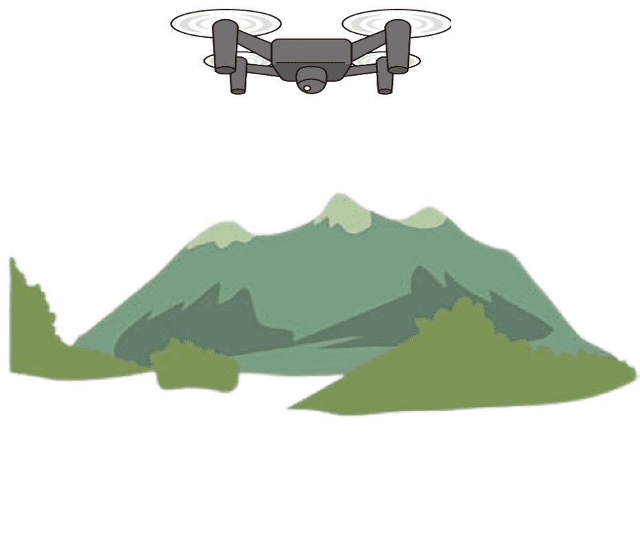
How to fly in hilly areas?
It is possible to fly a drone in the mountains. However, you may encounter challenges in exceptionally high mountains because the air is less dense at higher elevations. Additionally, you can have shorter flight times due to a more considerable drain on your batteries caused by altitude and cold.
Points to note before flying
- Be aware of your surroundings.
- Fly at high altitudes and increase overlap to identify areas with critical features.
- Keep an eye on the weather, especially the wind.
- Choose a safe elevated area as the home position.
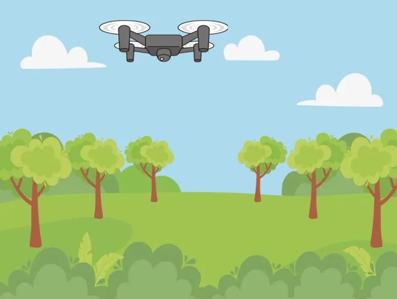
How to fly when there are tall trees and dense vegetation?
Drone technology redefines forestry’s components and contributes to forest ecosystems’ development and improvement. It also contributes to wildlife monitoring, Tree disease Detection, Forest fires, etc.
Points to note before flying
- Fly at high altitudes to ensure you have a clear line of sight.
- Place GCPs in areas where the terrain abruptly changes.
- Set the minimum height above ground to the tallest object’s height + 25m.
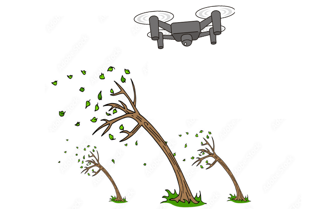
How to fly when it is windy?
Most drones can fly in strong winds, but it depends on the specifications of your drone.
Points to note before flying
- Maintain a safe distance from buildings and other obstacles.
- Check the wind speed of the site before flying the drone.
- If the drone becomes unstable, try to land as soon as possible or use the return home feature.
- Fly the drone in the wind’s direction.
- Some drones will have fail-safe features, such as an automatic return-to-home feature when the wind speed exceeds a specific limit. If this occurs, do not attempt to fly the drone again.
- Keep a close eye on the battery.