Digital Elevation Models (DEMs) have become vital tools for a range of applications in the fast evolving field of remote sensing and geospatial technology, with drone surveying at the forefront. DEMs are essential for converting two-dimensional images and data into a rich three-dimensional perspective, allowing for more precise and detailed analyses. This blog will explain what DEMs are, how they differ, and how they can dramatically improve drone surveying efforts.
What is a Digital Elevation Model (DEM)?
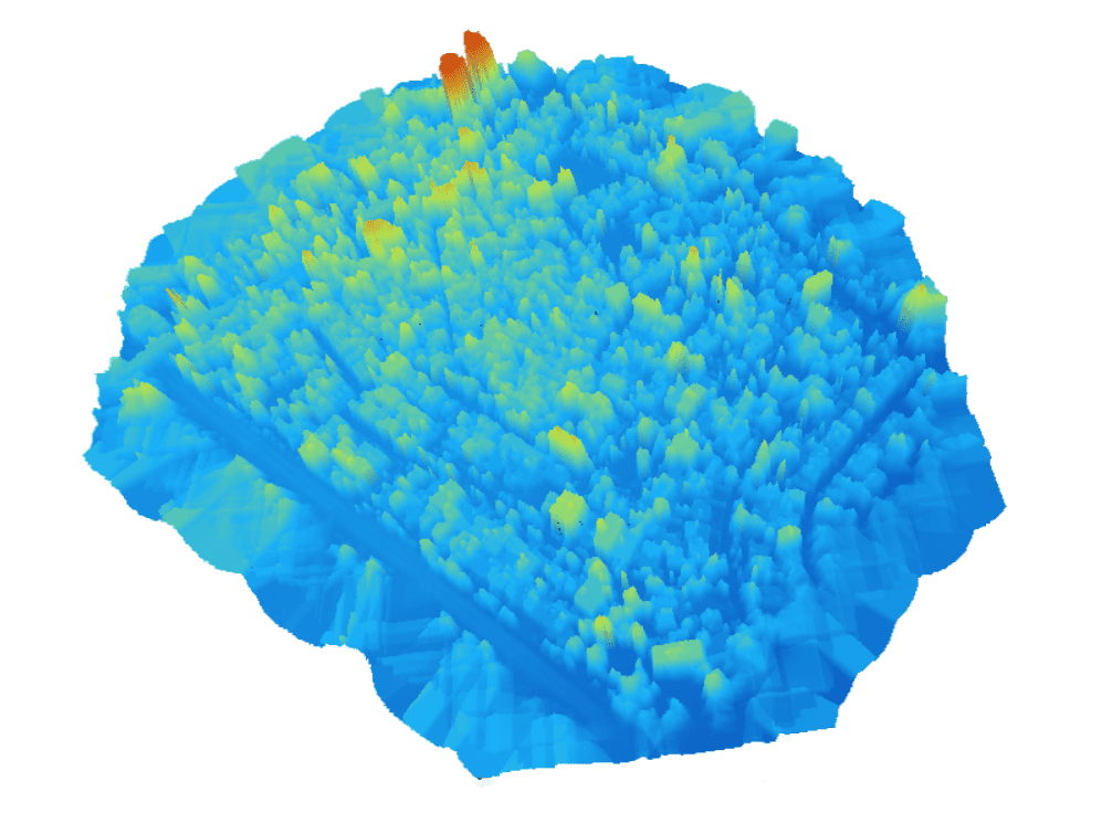
The Digital Elevation Model is a 3D representation of the terrain elevations on the earth’s surface. It provides elevation data for each point on the Earth’s surface and allows for the creation of 3D visualizations. DEMs are an essential component in geospatial analysis and are employed across various industries, from environmental management and urban planning to agriculture and disaster monitoring.
The Digital Elevation Model is a 3D representation of the terrain elevations on the earth’s surface. It provides elevation data for each point on the Earth’s surface and allows for the creation of 3D visualizations. DEMs are an essential component in geospatial analysis and are employed across various industries, from environmental management and urban planning to agriculture and disaster monitoring.
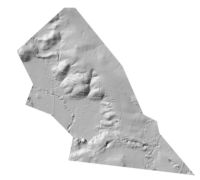
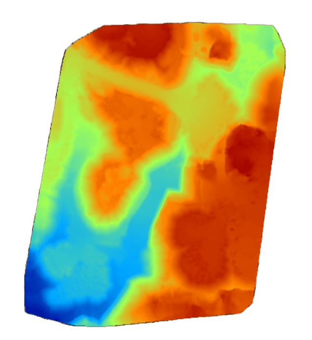
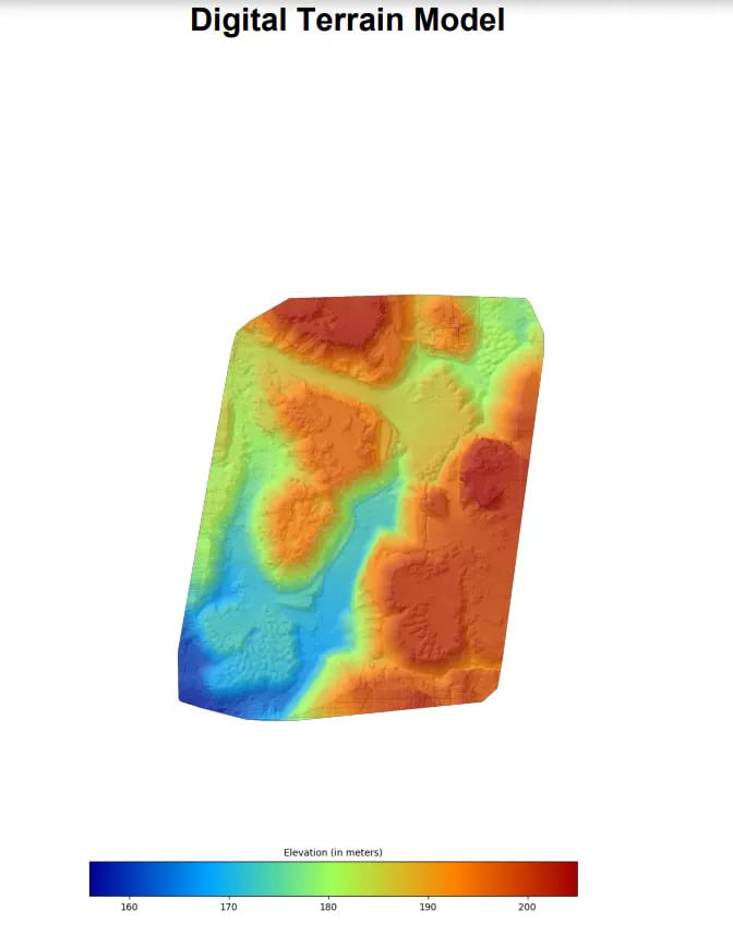
The Digital Terrain Model is a subset of DEM and consists of the earth’s surface and excludes buildings, trees, etc
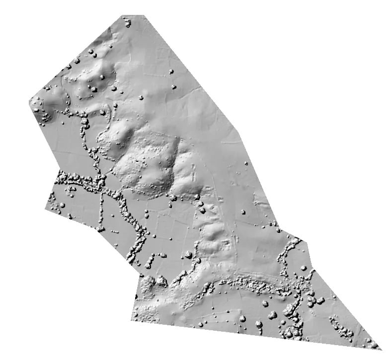
The Digital Surface Model is a subset of DEM and consists of the earth’s surface, including all objects like buildings, trees, etc.
DSM vs DTM
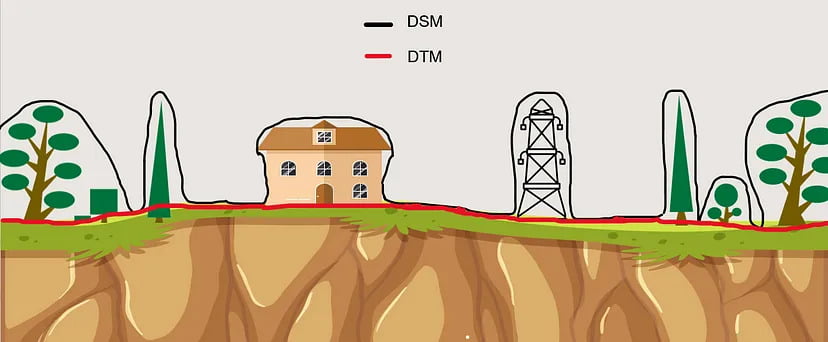
This illustration gives you a more detailed view and understanding on the Digital Surface model and the digital terrain model. The black line is represented by the digital surface model and as you can see here it has taken the elevation of the trees, house and the poles. The red line is represented by the digital terrain model and it has excluded the elevation of the trees, house and poles.
How DEMs Enhance Drone Surveying?
- Enhanced Terrain Visualization: DEMs provide a 3D representation of the surveyed area, offering a comprehensive view of the landscape. This aids in identifying elevation differences, slopes, and potential obstacles, which is crucial for mission planning and analysis.
- Precision in Elevation Data: DEMs allow drone surveyors to obtain highly accurate elevation information, which is vital for applications like flood modeling, slope analysis, and urban planning. This precision is especially valuable in regions with varying topography.
- Change Detection: Drone-based DEMs are instrumental in monitoring changes in the landscape over time. This capability is essential for assessing natural disasters, land subsidence, or construction progress, and it can help decision-makers take timely action.
- Volume Calculations: DEMs enable accurate volume calculations for stockpile management, mining operations, and construction projects. This data can optimize resource allocation and reduce costs.
- Ecosystem Analysis: For environmental and agricultural applications, DEMs derived from drones can provide insights into terrain variations that affect water drainage, soil health, and crop yield, thereby aiding in precision agriculture and conservation efforts.
Different Formats of Digital Elevation Model Map
Digital Elevation Models (DEMs) come in various formats in photogrammetry, depending on their data structure and storage. The choice of format depends on the specific application, software compatibility, and data requirements. Here are some common formats of DEMs in photogrammetry:
- GeoTIFF (Georeferenced Tagged Image File Format):It combines image data with geospatial information, allowing it to be precisely located on the Earth’s surface. This format is compatible with various Geographic Information System (GIS) software and is suitable for many geospatial applications.
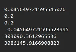
- Worldfile: It is a six line plain text sidecar file used by geographic information systems (GIS) to georeference raster map images.
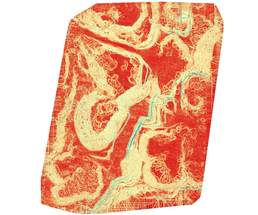
- Slope: It identifies the steepness. The lower the slope value, the flatter the terrain; the higher the slope value, the steeper the terrain.
- PDF (Portable Document Format): DEM’s can be exported as PDFs for easy sharing and printing. However, like JPEG, they may not contain geospatial data.
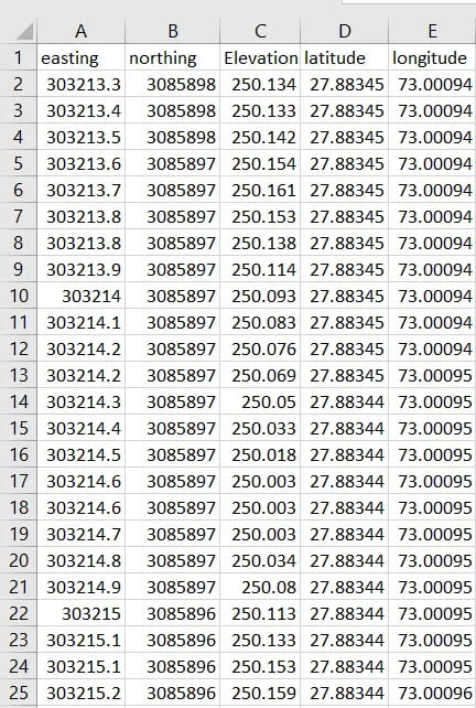
- CSV File: Comma-separated files contain latitude, longitude and elevation information in a text file, with each data category (or “column”) separated by a comma.
To sum up, digital elevation models are essential resources for drone surveys. They enable experts in a range of disciplines to reduce risks, streamline procedures, and make well-informed judgements. The combination of drone technology and the growing availability of different kinds of digital elevation models (DEMs) has the potential to completely transform how humans interact with our surroundings and manage our resources. Drones and DEMs can help you shape a better, more sustainable future whether you’re a land developer, environmentalist, urban planner, or geospatial scientist.
