
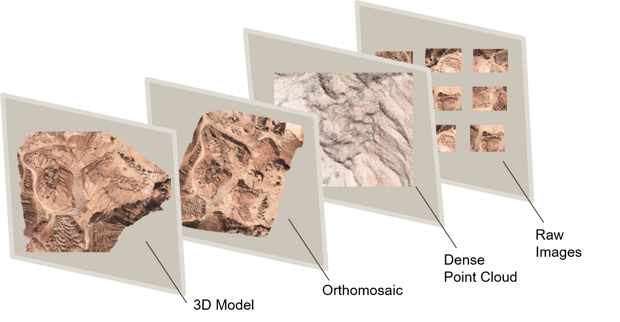
The field of surveying and mapping has changed dramatically in recent years, thanks to the introduction of drone technology and the incorporation of point cloud data. These unmanned aerial vehicles (UAVs) have become vital tools for a variety of businesses, providing a cost-effective and efficient m...
Blog by SurveyGyaan
Photogrammetry Outputs - Digital Elevation Model
09.01.24 06:52 AM - Comment(s)
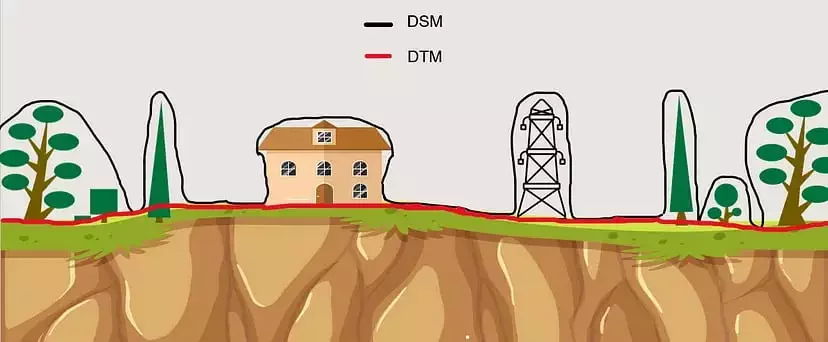
Digital Elevation Models (DEMs) have become vital tools for a range of applications in the fast evolving field of remote sensing and geospatial technology, with drone surveying at the forefront. DEMs are essential for converting two-dimensional images and data into a rich three-dimensional perspecti...
Photogrammetry Output - Orthomosaic
08.01.24 12:25 PM - Comment(s)
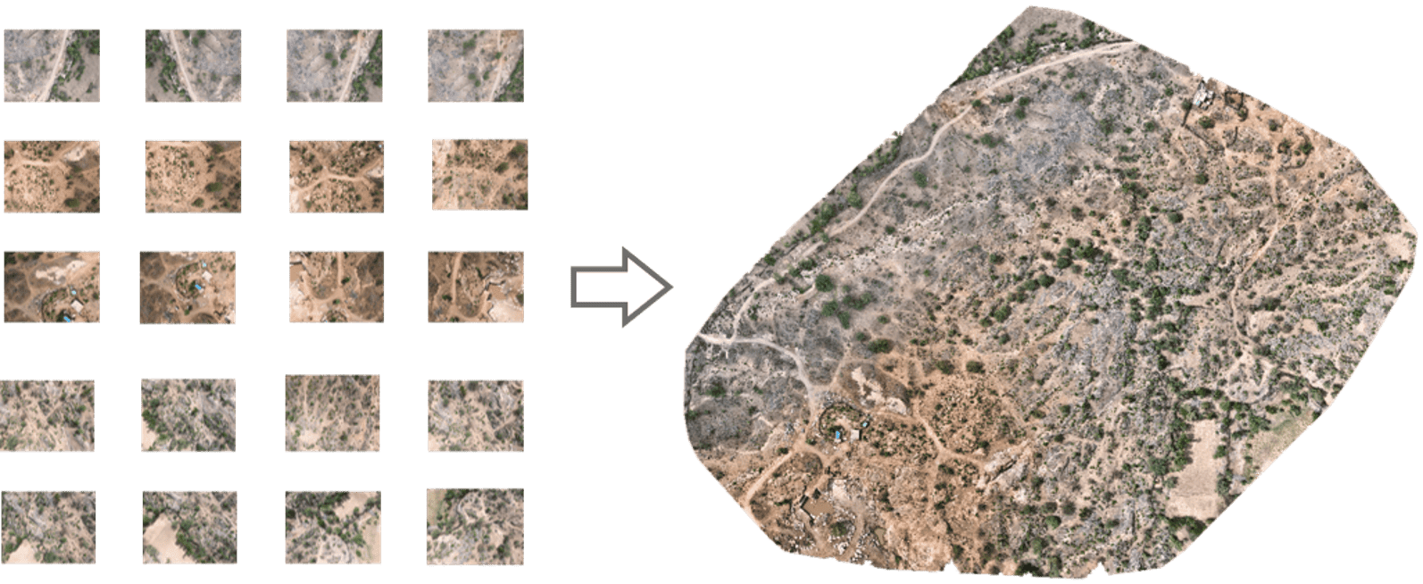
From the reconstruction of ancient artifacts and archaeological sites to enhancing urban planning and disaster response, photogrammetry offers a novel approach to understanding our world.
In this blog series, we will embark on a captivating journey through the realm of photogrammetry and its outputs...
Benefits of Cloud-based Photogrammetry Software
08.01.24 09:55 AM - Comment(s)
Photogrammetry is the technology of creating 3D models, orthomosaics, point clouds, or other geospatial data from a series of overlapping photographs or images. With photogrammetry, you can measure and model the real world with a camera. Photogrammetry is used in the military, construction, land sur...
Longitudinal and Cross Sectioning
08.01.24 09:54 AM - Comment(s)
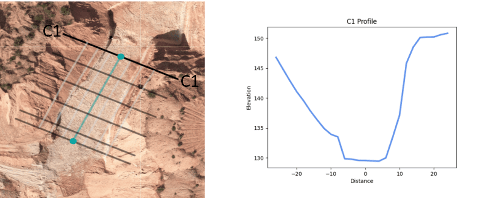
Surveying is a crucial aspect of civil engineering and construction projects, providing accurate measurements and data for planning, design, and implementation. Two important techniques used in surveying are Longitudinal and Cross sectioning. These methods allow surveyors to gather detailed informat...