

In the fast-evolving field of geospatial technology, LiDAR surveying using drones is transforming how we map, measure, and manage the Earth’s surface. Whether it’s infrastructure planning, surveying, mining, forestry, or topographic mapping — LiDAR-equipped UAVs (Unmanned Aerial Vehic...
Blog tagged as GCP
How DGNSS and Drone Surveying are Revolutionizing Land Surveying and Mining Industry
02.07.25 10:45 AM - Comment(s)
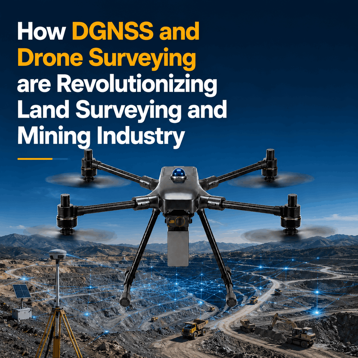
When it comes to land surveying, accuracy and efficiency aren’t just nice to have — they’re everything. Whether you’re building roads, planning a mining site, or laying railway tracks, precision in your data collection is what lays the foundation for success. Enter DGNSS (Differential Global Na...
IBM Drone Survey SOP -& Rules for carrying out Drone Survey
06.01.24 12:59 PM - Comment(s)
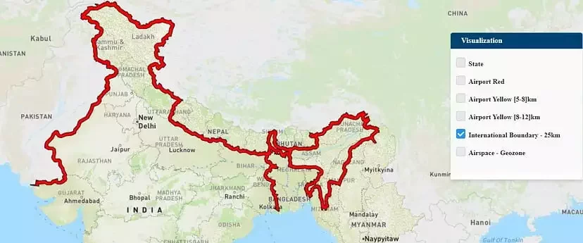
The Government released several sets of instructions to allow the operation of UAV drones called the Standard Operating Procedures (SOP) for carrying out drone survey and submission of Digital Aerial Images of Mining areas to Indian Bureau of Mines.
What is an SOP?
SOP stands for Standard O...
SOP stands for Standard O...
Guidelines for Automated Drone Mapping Part 1
14.12.23 01:07 PM - Comment(s)
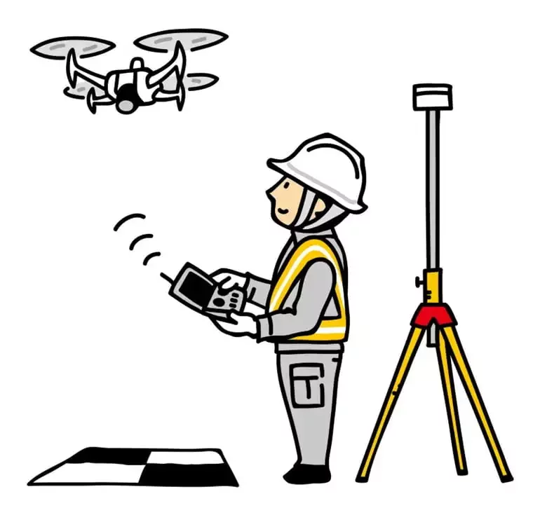
Drones have come a long way in the survey and construction sectors, and their capabilities have greatly improved over time, making UAVs the surveyors’ best friend. Before diving into how to fly the drone, let’s ensure we understand the practice.
The automated drones are controlled using Ground Contro...
Ground Control Points in Drone Survey
04.10.23 12:24 PM - Comment(s)
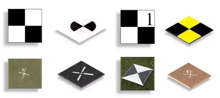
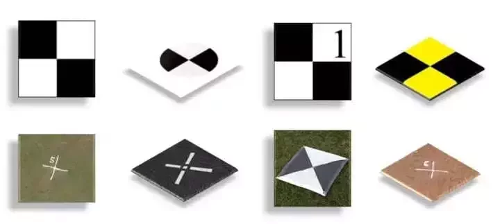
Ground Control Points (GCPs) are defined as the points on the surface of the earth which help to georeference raster data such as satellite, aerial, or drone imagery. They help in high-precision drone mapping. GCPs reduce the margin of error from a scale of meters to centimeters.
They usually l...