Blog tagged as digital sky

IBM Drone Survey SOP -& Rules for carrying out Drone Survey

06.01.24 12:59 PM - By SurveyGyaan - Comment(s)
IBM Drone Survey SOP -& Rules for carrying out Drone Survey

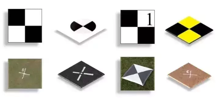
The Government released several sets of instructions to allow the operation of UAV drones called the Standard Operating Procedures (SOP) for carrying out drone survey and submission of Digital Aerial Images of Mining areas to Indian Bureau of Mines.

What is an SOP?

SOP stands for Standard O...


IBM Drone Survey SOP 

05.01.24 01:13 PM - By SurveyGyaan - Comment(s)
IBM Drone Survey SOP 

Mining is the extraction of valuable minerals or other geological materials from the earth. The profitable substances that are mined from the earth are called minerals. The minerals are valuable in their pure form, but in earth they are mixed with unwanted rocks and minerals. This mix of minera...

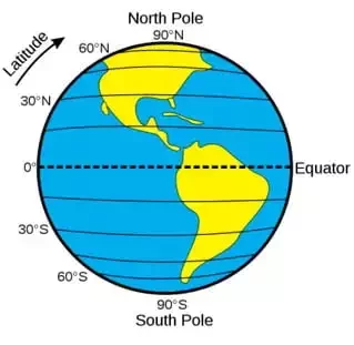
Geographic Coordinate Systems

30.12.23 10:33 AM - By SurveyGyaan - Comment(s)
Geographic Coordinate Systems

Understanding concepts such as coordinate reference systems and map projections is becoming increasingly crucial as drones become more common in the surveying, construction, mining, and earthwork industries.

Knowing how the coordinate system functions will aid in getting precise measurements.

Coordin...

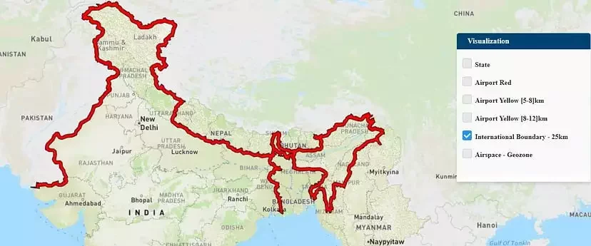
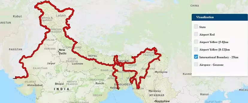
Airspace Map of India

30.12.23 10:26 AM - By SurveyGyaan - Comment(s)
Airspace Map of India

If you own a drone, there’s a good chance you may not be aware of the areas in which you can fly it. The DGCA’s interactive airspace map can assist you in this regard.


The Ministry of Civil Aviation launched an airspace map of India for drone operations on 24 September 2021 for t...


Volume Calculation using Drone Survey

02.12.23 01:04 PM - By SurveyGyaan - Comment(s)
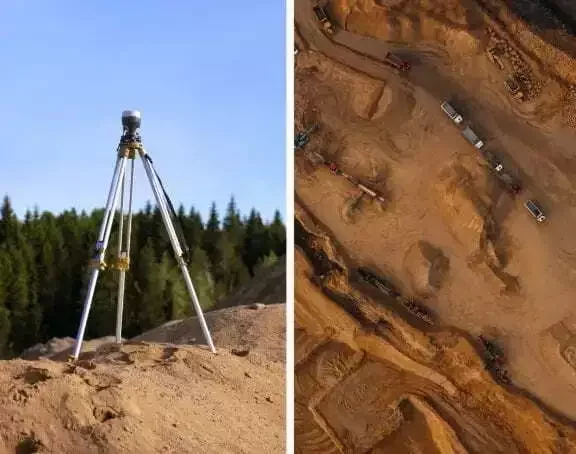
Volume Calculation using Drone Survey

Volumetric measurements are done using aerial or ground surveying techniques to calculate the volume of stockpiles and other materials. Conventionally, it was done on the ground using total station but now, as an alternative, aerial UAVs are used to find the measurements. Surveyors now use drones t...