

Mining is the extraction of valuable minerals or other geological materials from the earth. The profitable substances that are mined from the earth are called minerals. The minerals are valuable in their pure form, but in earth they are mixed with unwanted rocks and minerals. This mix of minera...
Blog categorized as Drone Survey
Geographic Coordinate Systems
30.12.23 10:33 AM - Comment(s)
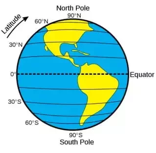
Understanding concepts such as coordinate reference systems and map projections is becoming increasingly crucial as drones become more common in the surveying, construction, mining, and earthwork industries.
Knowing how the coordinate system functions will aid in getting precise measurements.
Coordin...
Airspace Map of India
30.12.23 10:26 AM - Comment(s)
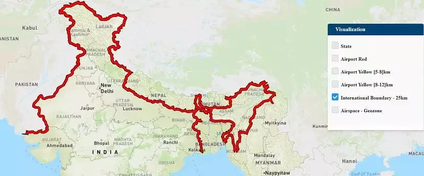
If you own a drone, there’s a good chance you may not be aware of the areas in which you can fly it. The DGCA’s interactive airspace map can assist you in this regard.
The Ministry of Civil Aviation launched an airspace map of India for drone operations on 24 September 2021 for t...
Guidelines for Automated Drone Mapping Part 2
21.12.23 01:01 PM - Comment(s)
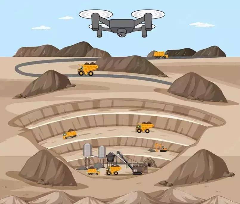
We saw the initial planning phase of drone mapping in one of our previous blog. In this blog, we will discuss the Data Collection phase and how paramount it is to choose the right type of mission for generating results. It is determined by the terrain and the objects to be reconstructed.
Data Collec...
Drone Survey of Large Sites
21.12.23 01:01 PM - Comment(s)
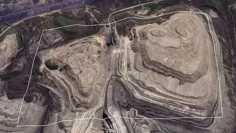
Surveying large areas present significant challenges in terms of battery life, overlap, covering all areas, drone range, and safety. Most of the difficulties can be dodged by careful and intelligent planning. The amount of time and money invested in mapping is directly proportional to the area to be...