Blog tagged as Surveygyaan

Guidelines for Automated Drone Mapping Part 1

14.12.23 01:07 PM - By SurveyGyaan - Comment(s)
Guidelines for Automated Drone Mapping Part 1

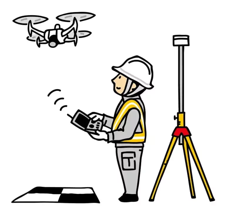
Drones have come a long way in the survey and construction sectors, and their capabilities have greatly improved over time, making UAVs the surveyors’ best friend. Before diving into how to fly the drone, let’s ensure we understand the practice.


The automated drones are controlled using Ground Contro...

Vector Data in GIS

13.12.23 12:23 PM - By SurveyGyaan - Comment(s)
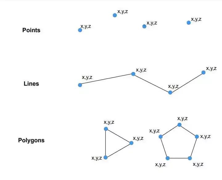
Vector Data in GIS

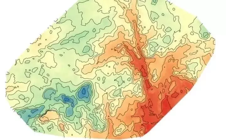
The spatial characteristics of features can be stored in GIS in one of 2 ways: Vector data or Raster data.

Raster data is made up of pixels (also referred to as grid cells). Each pixel is associated with a specific geographical location. The value of a pixel can be continuous (e.g., Slope) or d...


Raster Data in GIS

04.12.23 01:22 PM - By SurveyGyaan - Comment(s)
Raster Data in GIS

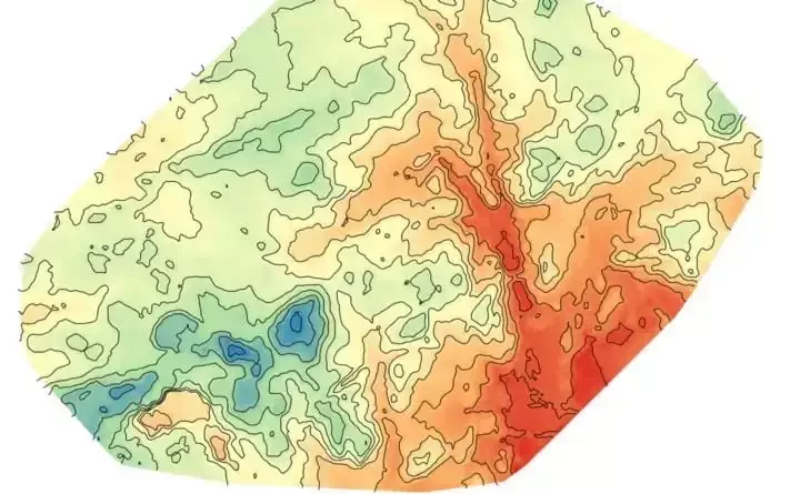
The spatial characteristics of features can be stored in GIS in one of 2 ways: Vector data or Raster data.

Vector is a data structure that can be used to store spatial data. It is used to represent real-world features and assign attributes to those features. Vector data comprises of individual...


Volume Calculation using Drone Survey

02.12.23 01:04 PM - By SurveyGyaan - Comment(s)
Volume Calculation using Drone Survey

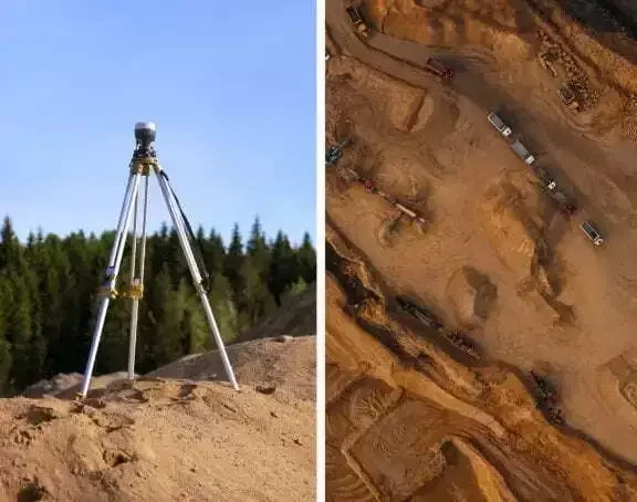
Volumetric measurements are done using aerial or ground surveying techniques to calculate the volume of stockpiles and other materials. Conventionally, it was done on the ground using total station but now, as an alternative, aerial UAVs are used to find the measurements. Surveyors now use drones t...

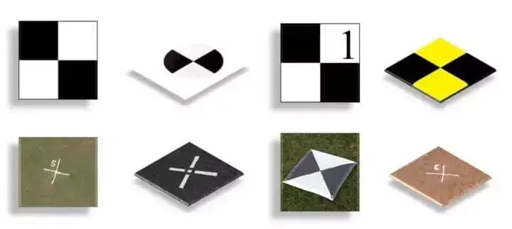
Ground Control Points in Drone Survey

04.10.23 12:24 PM - By SurveyGyaan - Comment(s)
Ground Control Points in Drone Survey

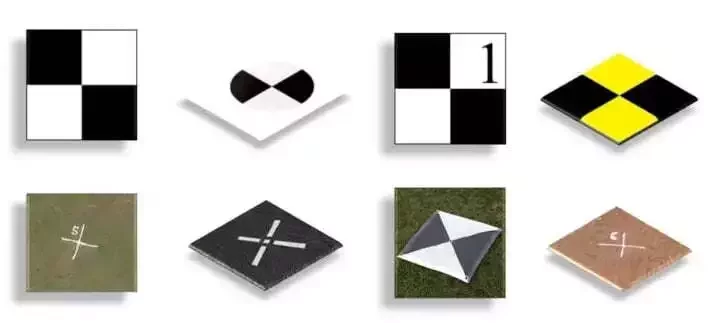
Ground Control Points (GCPs) are defined as the points on the surface of the earth which help to georeference raster data such as satellite, aerial, or drone imagery. They help in high-precision drone mapping. GCPs reduce the margin of error from a scale of meters to centimeters.


They usually l...