
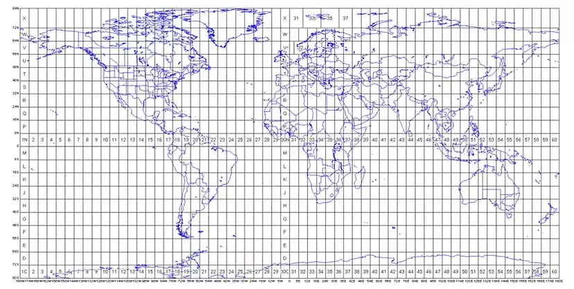
The Projected Coordinate System helps you to project a specific round-earth model onto a flat surface or map. PCS are created by projecting the 3D GCS onto a 2D surface. The projected coordinate system tells the data on how to draw on a flat surface. There are many different map projection...
Blog tagged as autocad
Geographic Coordinate Systems
30.12.23 10:33 AM - Comment(s)
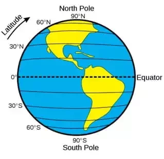
Understanding concepts such as coordinate reference systems and map projections is becoming increasingly crucial as drones become more common in the surveying, construction, mining, and earthwork industries.
Knowing how the coordinate system functions will aid in getting precise measurements.
Coordin...
Airspace Map of India
30.12.23 10:26 AM - Comment(s)
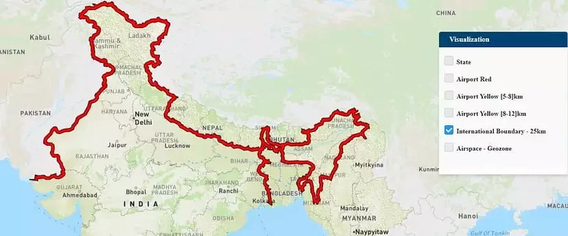
If you own a drone, there’s a good chance you may not be aware of the areas in which you can fly it. The DGCA’s interactive airspace map can assist you in this regard.
The Ministry of Civil Aviation launched an airspace map of India for drone operations on 24 September 2021 for t...
Drone Survey of Large Sites
21.12.23 01:01 PM - Comment(s)
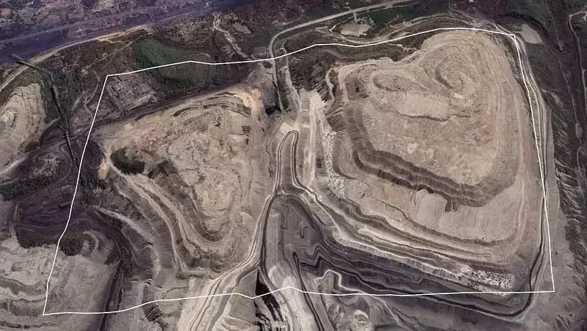
Surveying large areas present significant challenges in terms of battery life, overlap, covering all areas, drone range, and safety. Most of the difficulties can be dodged by careful and intelligent planning. The amount of time and money invested in mapping is directly proportional to the area to be...
Vector Data in GIS
13.12.23 12:23 PM - Comment(s)
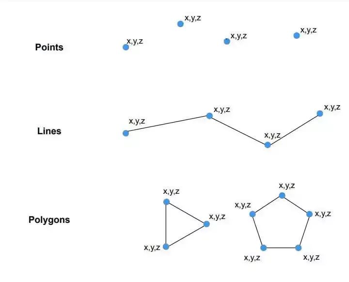
The spatial characteristics of features can be stored in GIS in one of 2 ways: Vector data or Raster data.
Raster data is made up of pixels (also referred to as grid cells). Each pixel is associated with a specific geographical location. The value of a pixel can be continuous (e.g., Slope) or d...