

In the fast-evolving field of geospatial technology, LiDAR surveying using drones is transforming how we map, measure, and manage the Earth’s surface. Whether it’s infrastructure planning, surveying, mining, forestry, or topographic mapping — LiDAR-equipped UAVs (Unmanned Aerial Vehic...
Blog tagged as contours
How DGNSS and Drone Surveying are Revolutionizing Land Surveying and Mining Industry
02.07.25 10:45 AM - Comment(s)

When it comes to land surveying, accuracy and efficiency aren’t just nice to have — they’re everything. Whether you’re building roads, planning a mining site, or laying railway tracks, precision in your data collection is what lays the foundation for success. Enter DGNSS (Differential Global Na...
IBM Drone Survey SOP March 2023 Updated
08.01.24 06:32 AM - Comment(s)
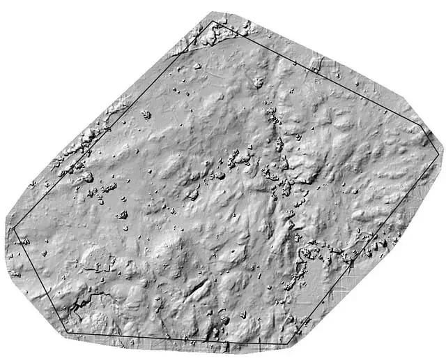
The Government has updated the Standard Operating Procedures (SOP) for drone surveys and submission of Digital Aerial Images of Mining areas to the Indian Bureau of Mines. Let’s see what has been updated under the new SOP.
IBM has updated the Ground Control Points. With a certified DGPS ins...
Projected Coordinate Systems
03.01.24 01:49 PM - Comment(s)
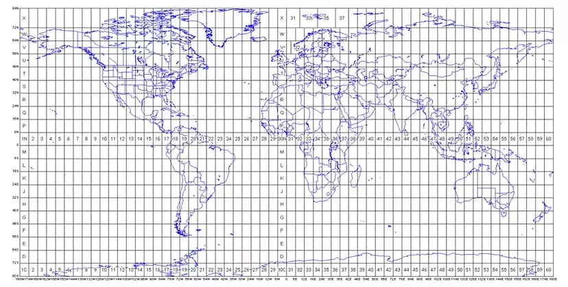
The Projected Coordinate System helps you to project a specific round-earth model onto a flat surface or map. PCS are created by projecting the 3D GCS onto a 2D surface. The projected coordinate system tells the data on how to draw on a flat surface. There are many different map projection...
Vector Data in GIS
13.12.23 12:23 PM - Comment(s)
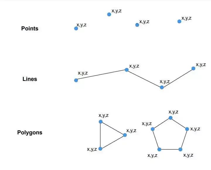
The spatial characteristics of features can be stored in GIS in one of 2 ways: Vector data or Raster data.
Raster data is made up of pixels (also referred to as grid cells). Each pixel is associated with a specific geographical location. The value of a pixel can be continuous (e.g., Slope) or d...