Blog tagged as ground control point

IBM Drone Survey SOP -& Rules for carrying out Drone Survey

06.01.24 12:59 PM - By SurveyGyaan - Comment(s)
IBM Drone Survey SOP -& Rules for carrying out Drone Survey

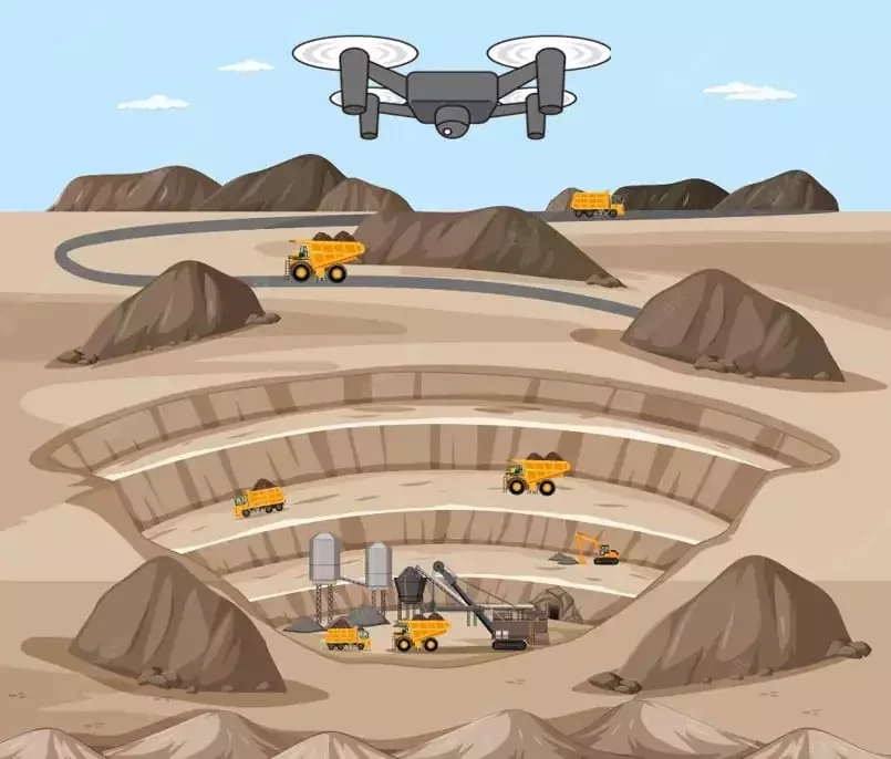
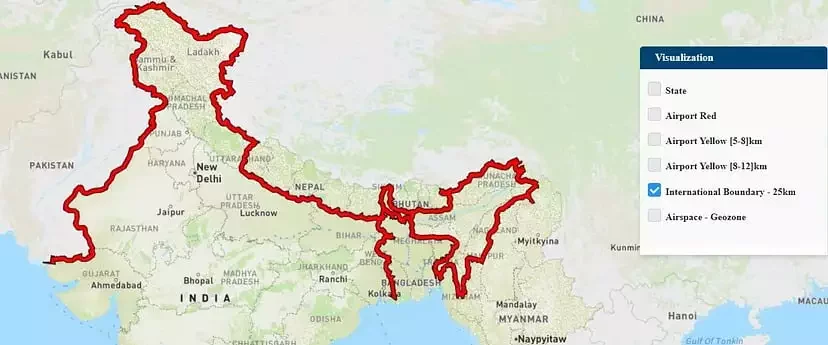
The Government released several sets of instructions to allow the operation of UAV drones called the Standard Operating Procedures (SOP) for carrying out drone survey and submission of Digital Aerial Images of Mining areas to Indian Bureau of Mines.

What is an SOP?

SOP stands for Standard O...


IBM Drone Survey SOP 

05.01.24 01:13 PM - By SurveyGyaan - Comment(s)
IBM Drone Survey SOP 

Mining is the extraction of valuable minerals or other geological materials from the earth. The profitable substances that are mined from the earth are called minerals. The minerals are valuable in their pure form, but in earth they are mixed with unwanted rocks and minerals. This mix of minera...

Guidelines for Automated Drone Mapping Part 2

21.12.23 01:01 PM - By SurveyGyaan - Comment(s)
Guidelines for Automated Drone Mapping Part 2

We saw the initial planning phase of drone mapping in one of our previous blog. In this blog, we will discuss the Data Collection phase and how paramount it is to choose the right type of mission for generating results. It is determined by the terrain and the objects to be reconstructed.

Data Collec...


Ground Control Points in Drone Survey

04.10.23 12:24 PM - By SurveyGyaan - Comment(s)
Ground Control Points in Drone Survey

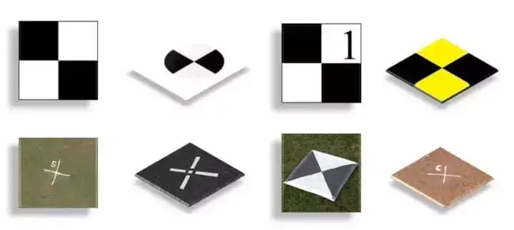
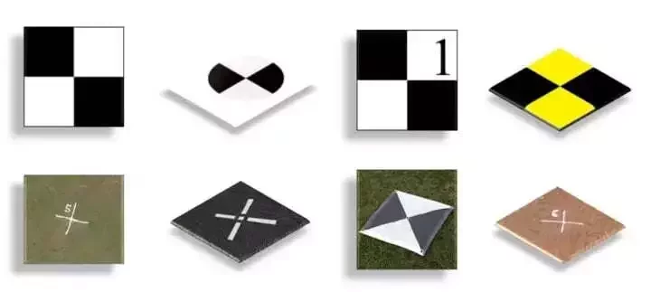
Ground Control Points (GCPs) are defined as the points on the surface of the earth which help to georeference raster data such as satellite, aerial, or drone imagery. They help in high-precision drone mapping. GCPs reduce the margin of error from a scale of meters to centimeters.


They usually l...


Volumetric Survey using Pseudo GCP Method

04.10.23 12:02 PM - By SurveyGyaan - Comment(s)
Volumetric Survey using Pseudo GCP Method

Volumetric surveys are topographical surveys that accurately quantify the volume of material removed from or placed at a location. It is basically done by comparing two surveys conducted at the same place at different point of time. They are performed for several reasons, such as obtaining volumes ...