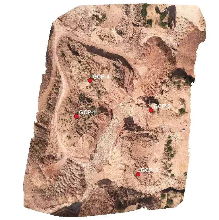
Blog tagged as orthomosaic map

IBM Drone Survey SOP — Output Data Submission

08.01.24 05:25 AM - By SurveyGyaan - Comment(s)
IBM Drone Survey SOP — Output Data Submission

Standard Operating Procedure (SOP) addresses guidelines for the drone pilot to follow during flight, pre-flight and post-flight procedures to ensure the highest degree of safety. Each lessee must provide IBM with the data output for the previous financial year.

10. Data Output and Formats

The outputs...


IBM Drone Survey SOP -& Rules for carrying out Drone Survey

06.01.24 12:59 PM - By SurveyGyaan - Comment(s)
IBM Drone Survey SOP -& Rules for carrying out Drone Survey

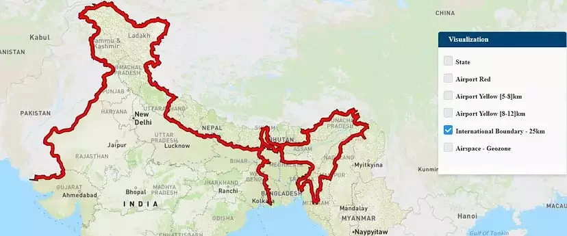
The Government released several sets of instructions to allow the operation of UAV drones called the Standard Operating Procedures (SOP) for carrying out drone survey and submission of Digital Aerial Images of Mining areas to Indian Bureau of Mines.

What is an SOP?

SOP stands for Standard O...


Drone Survey of Large Sites

21.12.23 01:01 PM - By SurveyGyaan - Comment(s)
Drone Survey of Large Sites

Surveying large areas present significant challenges in terms of battery life, overlap, covering all areas, drone range, and safety. Most of the difficulties can be dodged by careful and intelligent planning. The amount of time and money invested in mapping is directly proportional to the area to be...

Guidelines for Automated Drone Mapping Part 1

14.12.23 01:07 PM - By SurveyGyaan - Comment(s)
Guidelines for Automated Drone Mapping Part 1

Drones have come a long way in the survey and construction sectors, and their capabilities have greatly improved over time, making UAVs the surveyors’ best friend. Before diving into how to fly the drone, let’s ensure we understand the practice.


The automated drones are controlled using Ground Contro...


Raster Data in GIS

04.12.23 01:22 PM - By SurveyGyaan - Comment(s)
Raster Data in GIS

The spatial characteristics of features can be stored in GIS in one of 2 ways: Vector data or Raster data.

Vector is a data structure that can be used to store spatial data. It is used to represent real-world features and assign attributes to those features. Vector data comprises of individual...