Blog tagged as point cloud
In this blog, we’ll break down what DGNSS and drone surveying are, how they work together, and why industries like mining, construction, road and railway departments are shifting to these modern tools.
SurveyGyaan by Surveyaan
02.07.25 10:44 AM - Comment(s)
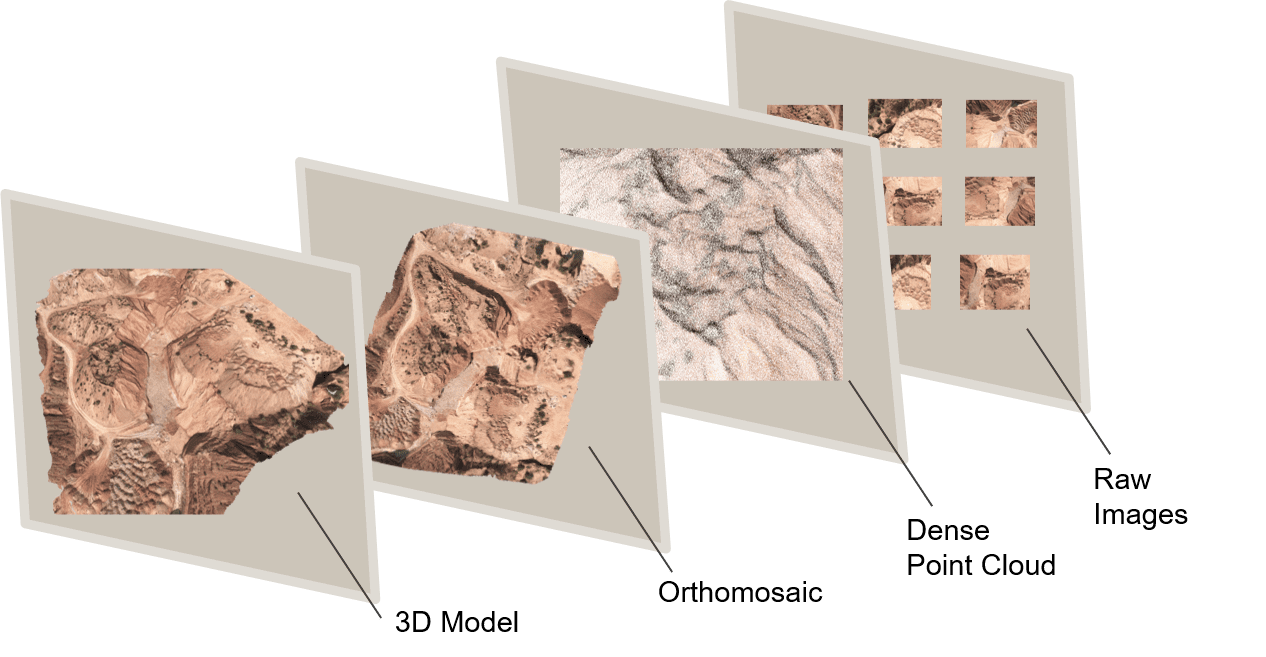
In this blog, we will look at how point clouds are used in drone surveying and how this technology is changing the way we collect and analyze spatial data.
SurveyGyaan by Surveyaan
09.01.24 10:54 AM - Comment(s)
