Blog tagged as contours
LiDAR (Light Detection and Ranging) is a remote sensing technology that uses laser pulses to measure distances.
SurveyGyaan by Surveyaan
02.07.25 12:07 PM - Comment(s)
In this blog, we’ll break down what DGNSS and drone surveying are, how they work together, and why industries like mining, construction, road and railway departments are shifting to these modern tools.
SurveyGyaan by Surveyaan
02.07.25 10:44 AM - Comment(s)
The Government has updated the SOP for drone surveys and submission of Digital Aerial Images of Mining areas to the Indian Bureau of Mines.
SurveyGyaan by Surveyaan
08.01.24 07:01 AM - Comment(s)
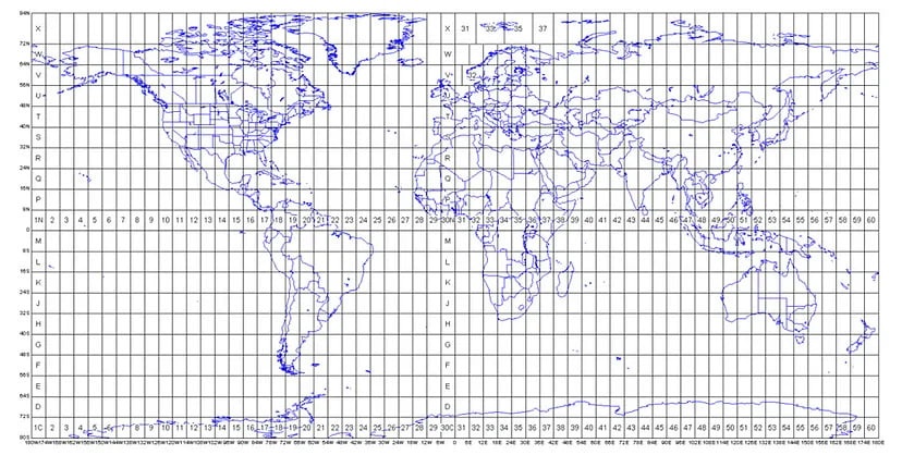
The Projected Coordinate System helps you to project a specific round-earth model onto a flat surface or map.
SurveyGyaan by Surveyaan
04.01.24 01:28 PM - Comment(s)
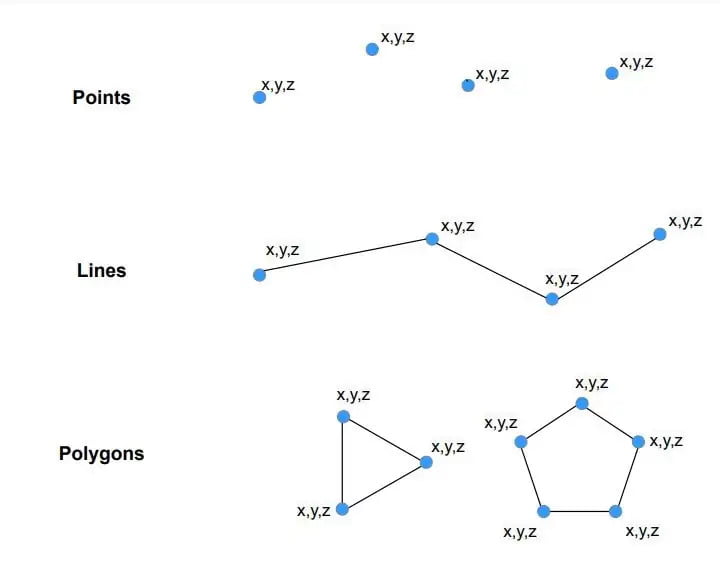
Vector data is a data structure that can be used to store spatial data. It is used to represent real-world features and assign attributes to those features.
SurveyGyaan by Surveyaan
13.12.23 12:52 PM - Comment(s)
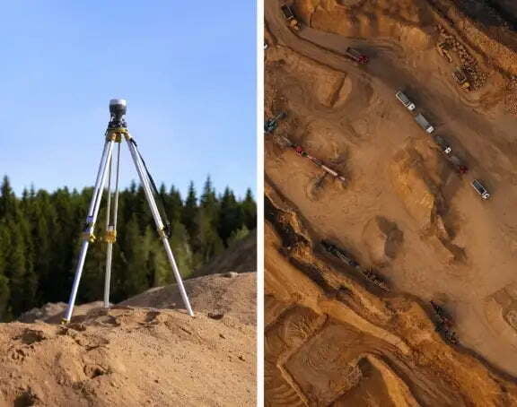
Volumetric measurements are done using aerial or ground surveying techniques to calculate the volume of stockpiles and other materials.
SurveyGyaan by Surveyaan
25.04.23 09:59 AM - Comment(s)
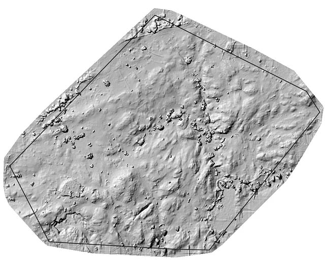
Contouring, in surveying, is the determination of elevation of various points on the ground.
SurveyGyaan by Surveyaan
28.01.22 11:30 AM - Comment(s)
