Blog tagged as digital sky

Learn everything you need to know about obtaining a Unique Identification Number (UIN) for drones in India. This step-by-step guide covers drone categories, DGCA regulations, eligibility, application process via Digital Sky, and the importance of drone registration for safe and legal operations.
SurveyGyaan by Surveyaan
10.04.25 11:32 AM - Comment(s)
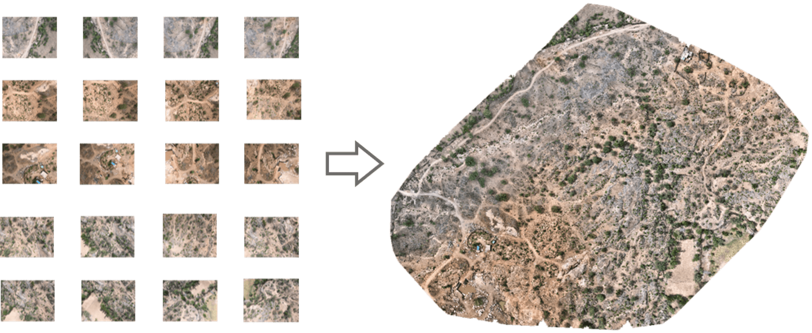
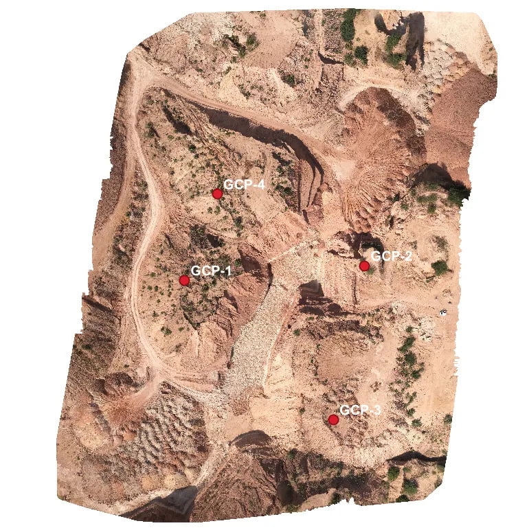
In this blog, we’ll take a closer look at orthomosaics, how they are created, and their wide-ranging applications across diverse range of fields.
SurveyGyaan by Surveyaan
09.01.24 06:50 AM - Comment(s)
Standard Operating Procedure (SOP) addresses guidelines for the drone pilot to follow during flight, pre-flight and post-flight procedures to ensure the highest degree of safety.
SurveyGyaan by Surveyaan
08.01.24 06:29 AM - Comment(s)

The Government released several sets of instructions to allow the operation of UAV drones called the Standard Operating Procedures for carrying out drone survey
SurveyGyaan by Surveyaan
06.01.24 01:44 PM - Comment(s)
Mining is the extraction of valuable minerals or other geological materials from the earth.
SurveyGyaan by Surveyaan
05.01.24 01:38 PM - Comment(s)
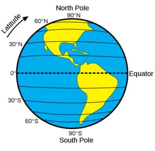
Understanding concepts such as coordinate reference systems and map projections is becoming increasingly crucial
SurveyGyaan by Surveyaan
02.01.24 12:52 PM - Comment(s)
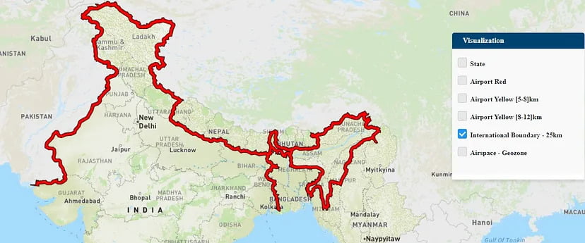
If you own a drone, there’s a good chance you may not be aware of the areas in which you can fly it.
SurveyGyaan by Surveyaan
30.12.23 12:52 PM - Comment(s)

Volumetric measurements are done using aerial or ground surveying techniques to calculate the volume of stockpiles and other materials.
SurveyGyaan by Surveyaan
25.04.23 09:59 AM - Comment(s)
