Blog
LiDAR (Light Detection and Ranging) is a remote sensing technology that uses laser pulses to measure distances.
SurveyGyaan by Surveyaan
02.07.25 12:07 PM - Comment(s)
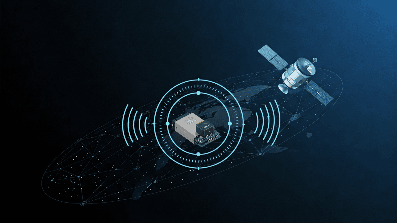
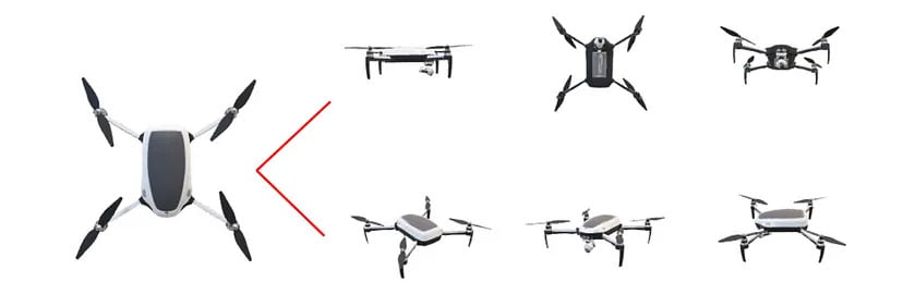
In this blog, we’ll break down what DGNSS and drone surveying are, how they work together, and why industries like mining, construction, road and railway departments are shifting to these modern tools.
SurveyGyaan by Surveyaan
02.07.25 10:44 AM - Comment(s)
Tilt compensation allows a GNSS receiver to accurately record positions even when the pole is not held vertically. This is made possible by integrating sensors like IMUs (Inertial Measurement Units) into the receiver.
SurveyGyaan by Surveyaan
02.07.25 10:44 AM - Comment(s)
In this blog, we’ll explore the importance of IMU in GNSS, how it enhances accuracy, and why it’s a game-changer for high-precision applications.
SurveyGyaan by Surveyaan
30.04.25 11:17 AM - Comment(s)

Learn everything you need to know about obtaining a Unique Identification Number (UIN) for drones in India. This step-by-step guide covers drone categories, DGCA regulations, eligibility, application process via Digital Sky, and the importance of drone registration for safe and legal operations.
SurveyGyaan by Surveyaan
10.04.25 11:32 AM - Comment(s)
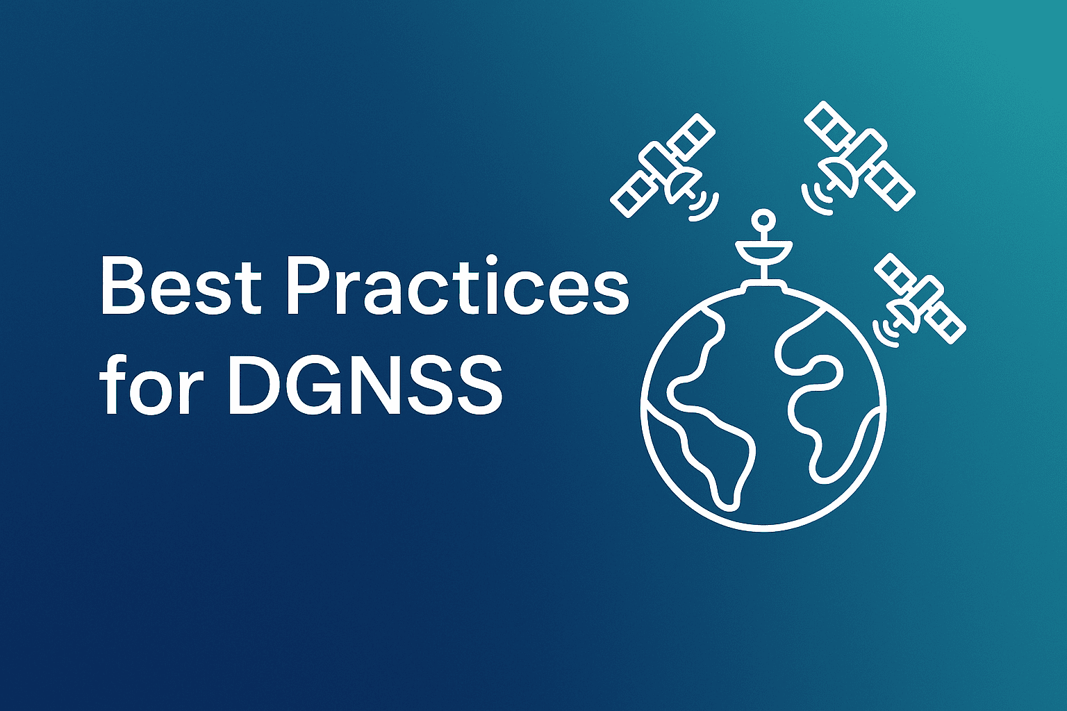
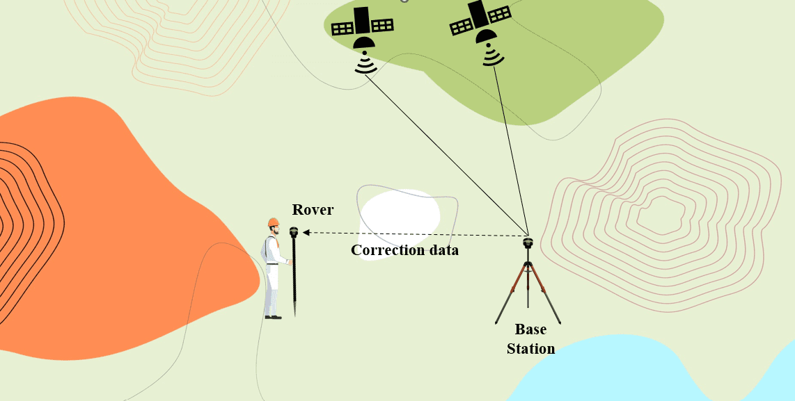
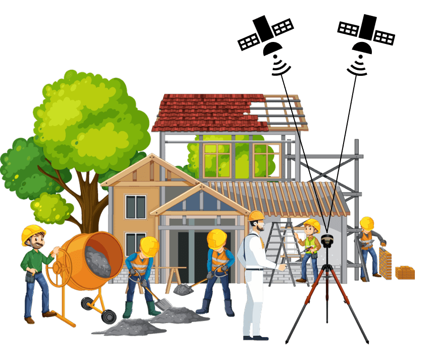
In this blog, we outline essential best practices for DGNSS surveying, including how to set up your base and rover stations, prepare for field conditions, and choose the right positioning techniques (Static, RTK, PPK, or Rapid Static).
SurveyGyaan by Surveyaan
10.04.25 09:17 AM - Comment(s)

In this blog, we break down one of the most persistent myths in the surveying industry: the belief that more channels in a DGNSS receiver automatically mean better performance.
SurveyGyaan by Surveyaan
10.04.25 06:28 AM - Comment(s)
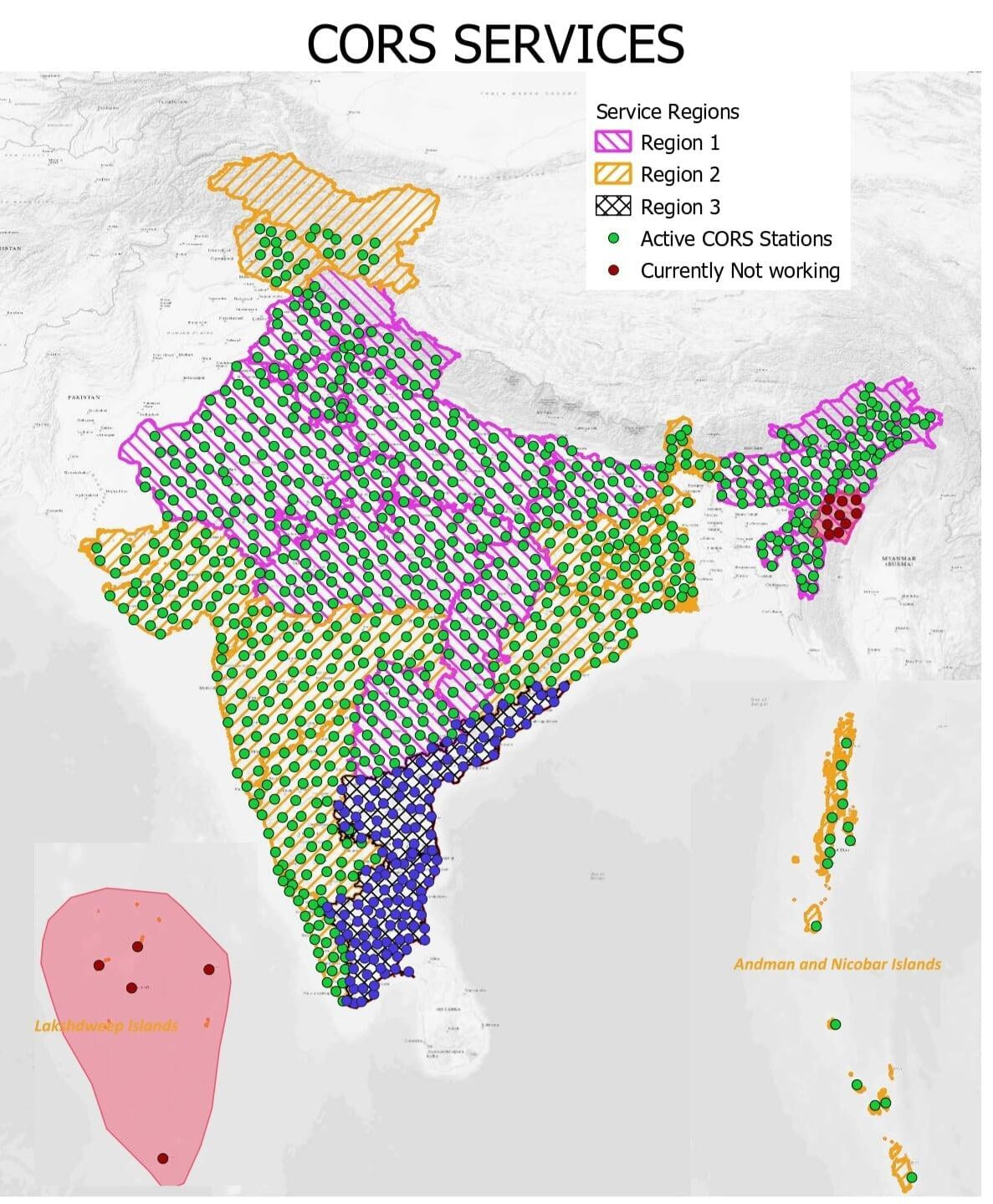
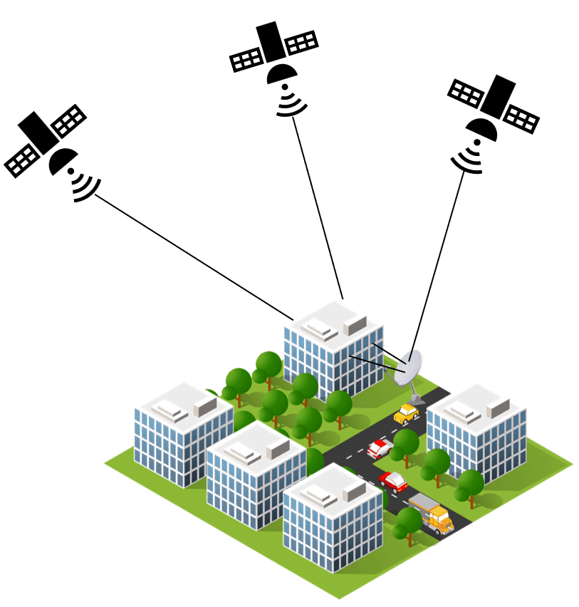
The Continuous Operating Reference Station (CORS) networks positioning services are amongst the most used ones when the highest positioning accuracy is needed.
SurveyGyaan by Surveyaan
09.02.24 08:22 AM - Comment(s)
Global Navigation Satellite System (GNSS) technology has transformed how we navigate and collect location-based data
SurveyGyaan by Surveyaan
02.02.24 12:37 PM - Comment(s)
Global Navigation Satellite System (GNSS) technology has transformed how we navigate and collect geospatial data.
SurveyGyaan by Surveyaan
18.01.24 01:22 PM - Comment(s)
In this blog, we will look at various forms of GNSS errors and how they affect accuracy.
SurveyGyaan by Surveyaan
10.01.24 06:30 AM - Comment(s)
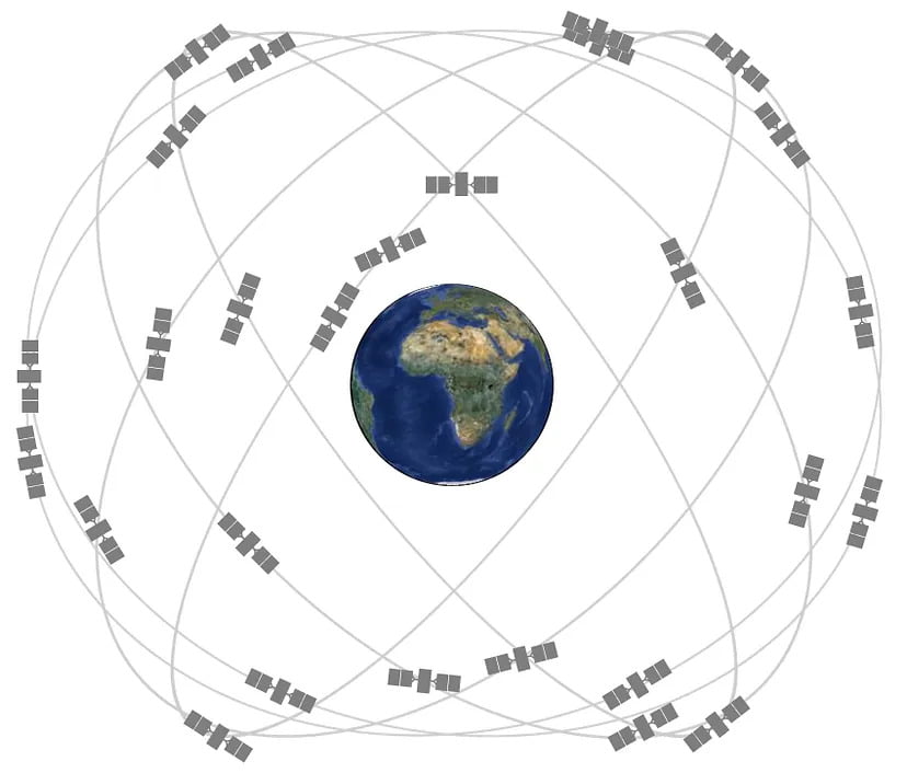
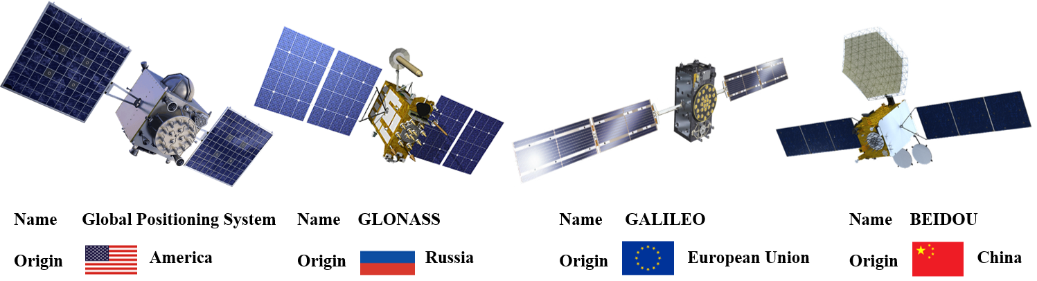
In this blog, we’ll take a closer look at the major GNSS satellite constellations, exploring their features, functions, and the global impact of these constellations.
SurveyGyaan by Surveyaan
09.01.24 01:17 PM - Comment(s)
In this blog, we will unravel the diverse domains where accuracy is not just a preference but an absolute necessity and also take you on a journey into the cosmos of GNSS.
SurveyGyaan by Surveyaan
09.01.24 12:57 PM - Comment(s)
In this blog, we’ll explore the magic behind 3D models in drone surveys and unveil the countless applications that make them an vital tool in various industries.
SurveyGyaan by Surveyaan
09.01.24 12:16 PM - Comment(s)
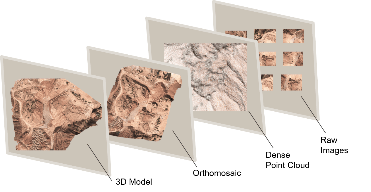
In this blog, we will look at how point clouds are used in drone surveying and how this technology is changing the way we collect and analyze spatial data.
SurveyGyaan by Surveyaan
09.01.24 10:54 AM - Comment(s)
